Runway & Layout

Airport Specifications
ICAO code
EGOM
Airport class
Medium airport
Scheduled service
No
Served city
Spadeadam
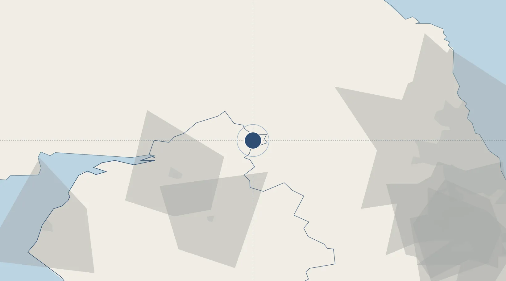
Location
Nearby Logistics Neighbours
Airports
Cities
- 1Howden le Wear23 km
- 2Fourstones25 km
- 3Canonbie26 km
- 4Harraby29 km
- 5Carlisle30 km
Ports
- 1Silloth58 km
- 2Blyth67 km
- 3Warkworth Harbour69 km
- 4Tynemouth74 km
- 5Sunderland77 km
Trade Zones
DatabookThe Record of Consolidated Knowledge
United Kingdom beyond logistics?