Transport Functions
Port
Rail
Road
Hub Profile
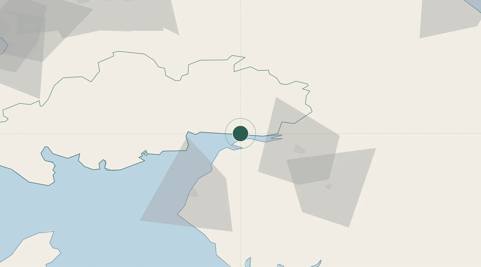
Place type
Populated place
Region
Scotland
Population
8,920
Time zone
Europe/London
Elevation
20 m
Location
Nearby Logistics Neighbours
Cities
- 1Gretna Green9 km
- 2Gretna13 km
- 3Lockerbie16 km
- 4Carlisle18 km
- 5Carsethorn21 km
Ports
- 1Silloth16 km
- 2Workington52 km
- 3Barrow In Furness96 km
- 4Ayr102 km
- 5Ramsey103 km
Airports
- 1Carlisle Lake District Airport30 km
- 2RAF Spadeadam46 km
- 3Barrow Walney Island Airport95 km
- 4Newcastle International Airport101 km
- 5Glasgow Prestwick Airport101 km
Trade Zones
DatabookThe Record of Consolidated Knowledge
United Kingdom beyond logistics?