Seaport · United Kingdom
BlythGBBLY
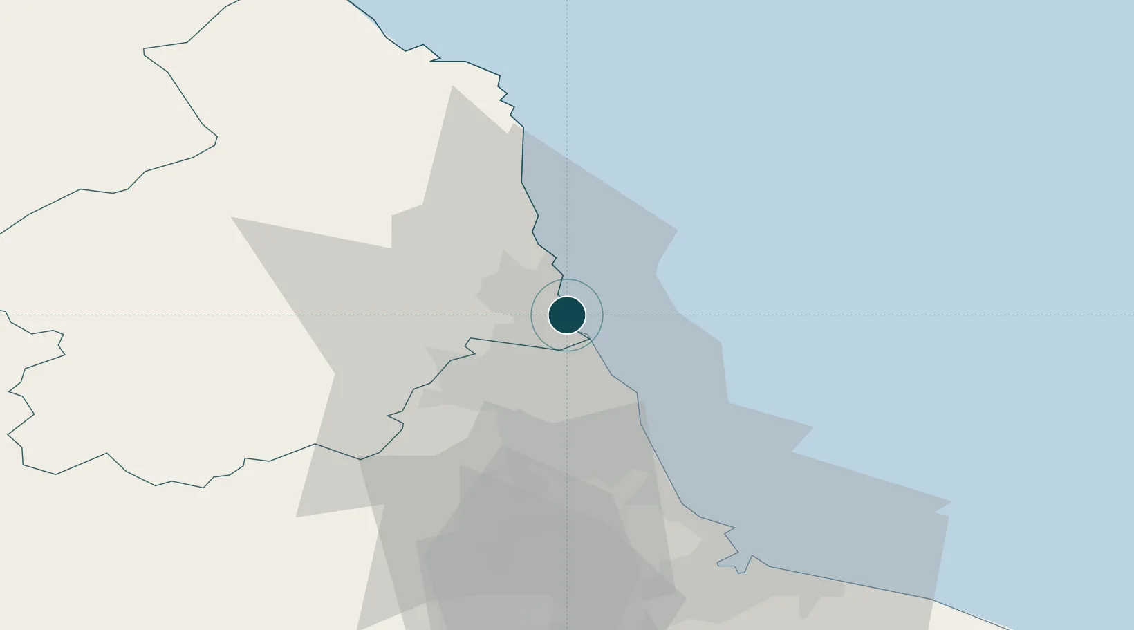
55.1167°, -1.5000°
7.9 m
Channel depth
17.5
Port liner connectivity
Channel & Berth Profile
Pilotage, Tugs & Services
Pilotage compulsoryNO
Pilotage availableYES
Pilotage advisableYES
Tug assistanceYES
Potable waterYES
Diesel bunkersYES
MedicalYES
Garbage disposalYES
Facilities & Capabilities
Container—
Ro-Ro—
Liquid bulk—
Dry bulk—
Oil terminal—
Break bulk—
Dry dock—
RepairsNO
BunkeringYES
Rail linkYES
Dangerous cargo—
ISPS security—
Harbour Specifications
Harbour size
Medium
Harbour type
River (Natural)
Shelter
Good
Water body
North Sea; North Atlantic Ocean
Tidal range
3 m
Pilotage
No
Liner Connectivity
17.5
PLSCI
Port Liner Shipping Connectivity Index for Blyth, as published by UNCTAD for the latest available quarter. Higher values indicate stronger scheduled liner-shipping integration.
Shown relative to the highest per-port PLSCI in the dataset (1,657.9).
Location
Nearby Logistics Neighbours
Ports
- 1Tynemouth15 km
- 2Sunderland24 km
- 3Warkworth Harbour25 km
- 4Seaham34 km
- 5Hartlepool51 km
Cities
- 1Cambois4 km
- 2Newbiggin by the Sea6 km
- 3Lynemouth11 km
- 4Tynemouth12 km
- 5North Shields13 km
Airports
- 1Newcastle International Airport15 km
- 2RAF Spadeadam67 km
- 3Teesside International Airport68 km
- 4Carlisle Lake District Airport86 km
- 5RAF Leeming91 km
Trade Zones
DatabookThe Record of Consolidated Knowledge
United Kingdom beyond logistics?