Medium airport · United Kingdom

Carlisle Lake District AirportEGNC
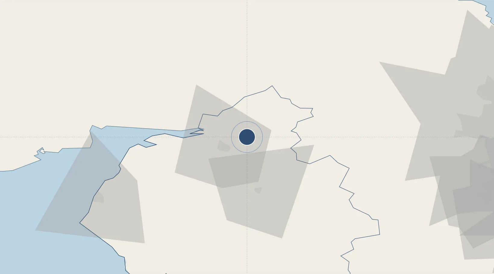
54.9375°, -2.8092°
6,000 ft
Longest runway
2
Runways
190 ft
Elevation

Runway & Layout

Carlisle Lake District Airport runway & taxiway layout
Runway & taxiway layout — OpenStreetMap (ODbL) / OurAirports

Radio Frequencies

ATIS
118.425 MHz
TWR
123.6 MHz
APP
123.6 MHz
A/G
123.6 MHz
RDO
OurAirports

Runways · 2

RunwayDimensions SurfaceTrue headingLit
06/24 6,000 × 98ft Asphalt 059°
01/19 2,904 × 75ft Asphalt 001°
OurAirports

Airport Specifications

IATA code
CAX
OurAirports
ICAO code
EGNC
OurAirports
Airport class
Medium airport
OurAirports
Scheduled service
No
OurAirports
Runway surface
Asphalt
OurAirports
Served city
Carlisle, Cumbria
OurAirports

Location

Location of EGNC
Natural Earth 10m (public domain) · Cumbria · EGNC · 54.94, -2.81GoogleOSMYandex

Nearby Logistics Neighbours

Airports
  1. 1RAF Spadeadam21 km
  2. 2Newcastle International Airport72 km
  3. 3Barrow Walney Island Airport95 km
  4. 4Teesside International Airport101 km
  5. 5RAF Leeming108 km
Nearest neighbours — logibook spatial index (haversine) over the source coordinates
Cities
  1. 1Harraby8 km
  2. 2Carlisle12 km
  3. 3Canonbie17 km
  4. 4Gretna18 km
  5. 5Gretna Green22 km
Nearest neighbours — logibook spatial index (haversine) over the source coordinates
Ports
  1. 1Silloth39 km
  2. 2Workington67 km
  3. 3Blyth86 km
  4. 4Warkworth Harbour90 km
  5. 5Tynemouth90 km
Nearest neighbours — logibook spatial index (haversine) over the source coordinates
Trade Zones
  1. 1Carlisle Kingmoor Park Enterprise Zone10 km
  2. 2North Eastern Enterprise Zone76 km
  3. 3Tees Valley Enterprise Zone111 km
  4. 4Hillhouse Enterprise Zone129 km
  5. 5Blackpool Enterprise Zone130 km
Nearest neighbours — logibook spatial index (haversine) over the source coordinates
DatabookThe Record of Consolidated Knowledge
United Kingdom beyond logistics?
Browse databook

All Sources

AirportsOurAirports
Public domain
Portsthe NGA World Port Index
Public domain (US gov)
LocationsUN/LOCODE
UN/LOCODE — free
Trade Zonesthe World Bank SEZ database
CC BY 4.0
Trade ZonesOpen Zone Map
CC BY
InfrastructureOpenStreetMap
ODbL 1.0
← United Kingdom airports