Channel & Berth Profile
Pilotage, Tugs & Services
Pilotage compulsoryYES
Pilotage availableYES
Pilotage advisableYES
Local assistanceYES
Tug assistanceYES
Shore powerYES
Potable waterYES
Diesel bunkersYES
MedicalYES
Garbage disposalYES
Facilities & Capabilities
Container—
Ro-Ro—
Liquid bulk—
Dry bulk—
Oil terminal—
Break bulk—
Dry dockNO
RepairsNO
BunkeringYES
Rail linkYES
Dangerous cargo—
ISPS security—
Harbour Specifications
Harbour size
Medium
Harbour type
Coastal (Tide Gates)
Shelter
Good
Water body
Irish Sea; North Atlantic Ocean
Tidal range
6 m
Overhead limit
Yes
Pilotage
Yes
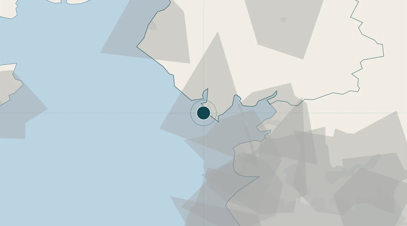
Location
Nearby Logistics Neighbours
Ports
- 1Heysham23 km
- 2Fleetwood26 km
- 3Lancaster30 km
- 4Workington56 km
- 5Liverpool Bay Terminal68 km
Cities
- 1Bardsea12 km
- 2Broughton In Furness17 km
- 3Flookburgh18 km
- 4Heaton27 km
- 5Fleetwood27 km
Airports
- 1Barrow Walney Island Airport3 km
- 2Blackpool Airport41 km
- 3Warton Aerodrome47 km
- 4Liverpool John Lennon Airport91 km
- 5Isle of Man Airport91 km
Trade Zones
DatabookThe Record of Consolidated Knowledge
United Kingdom beyond logistics?