UN/LOCODE hub · United Kingdom
GBLKB
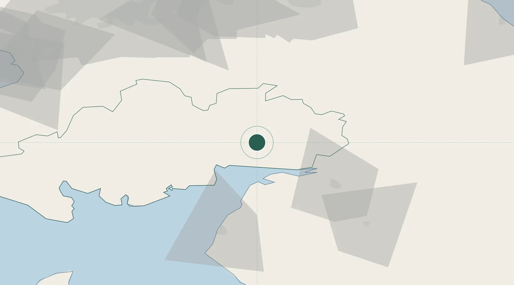
Lockerbie
55.1167°, -3.3500°
4,290
Population
3
Transport functions
Transport Functions
Rail
Road
Multimodal
Hub Profile
Place type
Populated place
Region
Scotland
Population
4,290
Time zone
Europe/London
Elevation
85 m
Location
Nearby Logistics Neighbours
Cities
- 1Johnstonebridge10 km
- 2Annan16 km
- 3Dumfries18 km
- 4Parkend18 km
- 5Gretna Green19 km
Ports
- 1Silloth28 km
- 2Workington64 km
- 3Ayr90 km
- 4Granton97 km
- 5Leith97 km
Airports
- 1Carlisle Lake District Airport40 km
- 2RAF Spadeadam52 km
- 3Glasgow Prestwick Airport89 km
- 4Edinburgh Airport93 km
- 5Newcastle International Airport106 km
Trade Zones
DatabookThe Record of Consolidated Knowledge
United Kingdom beyond logistics?