Channel & Berth Profile
Pilotage, Tugs & Services
Pilotage compulsoryYES
Pilotage availableYES
Tug assistanceYES
Salvage tugsNO
Potable waterYES
Diesel bunkersYES
MedicalYES
Garbage disposalYES
Facilities & Capabilities
Container—
Ro-Ro—
Liquid bulk—
Dry bulk—
Oil terminal—
Break bulk—
Dry dock—
RepairsNO
BunkeringYES
Rail linkYES
Dangerous cargo—
ISPS security—
Harbour Specifications
Harbour size
Very Small
Harbour type
River (Tide Gates)
Shelter
Excellent
Water body
Irish Sea; North Atlantic Ocean
Tidal range
7 m
Overhead limit
Yes
Pilotage
Yes
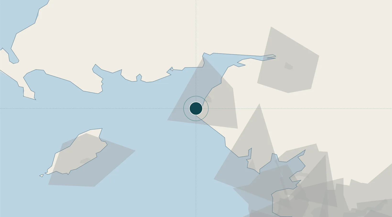
Location
Nearby Logistics Neighbours
Ports
- 1Silloth37 km
- 2Ramsey55 km
- 3Barrow In Furness56 km
- 4Douglas71 km
- 5Heysham75 km
Cities
- 1Borrowstowness17 km
- 2Cumbria26 km
- 3Aspatria28 km
- 4Ravenglass28 km
- 5Grange over Sands31 km
Airports
- 1Barrow Walney Island Airport54 km
- 2Carlisle Lake District Airport67 km
- 3Isle of Man Airport84 km
- 4RAF Spadeadam88 km
- 5Blackpool Airport97 km
Trade Zones
DatabookThe Record of Consolidated Knowledge
United Kingdom beyond logistics?