Transport Functions
Road
Multimodal
Hub Profile
Place type
Populated place
Region
Scotland
Time zone
Europe/London
Elevation
39 m
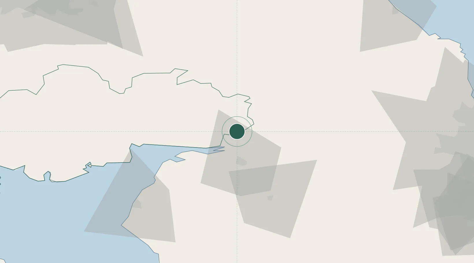
Location
Nearby Logistics Neighbours
Cities
- 1Gretna11 km
- 2Carlisle12 km
- 3Gretna Green14 km
- 4Harraby21 km
- 5Annan22 km
Ports
- 1Silloth36 km
- 2Workington71 km
- 3Warkworth Harbour92 km
- 4Blyth92 km
- 5Berwick-Upon-Tweed98 km
Airports
- 1Carlisle Lake District Airport17 km
- 2RAF Spadeadam26 km
- 3Newcastle International Airport80 km
- 4Edinburgh Airport102 km
- 5Barrow Walney Island Airport106 km
Trade Zones
DatabookThe Record of Consolidated Knowledge
United Kingdom beyond logistics?