Channel & Berth Profile
Pilotage, Tugs & Services
Pilotage availableYES
Local assistanceYES
Facilities & Capabilities
Container—
Ro-Ro—
Liquid bulk—
Dry bulk—
Oil terminal—
Break bulk—
Dry dock—
RepairsNO
Bunkering—
Rail linkYES
Dangerous cargo—
ISPS security—
Harbour Specifications
Harbour size
Very Small
Harbour type
River (Natural)
Shelter
Fair
Water body
North Sea; North Atlantic Ocean
Overhead limit
Yes
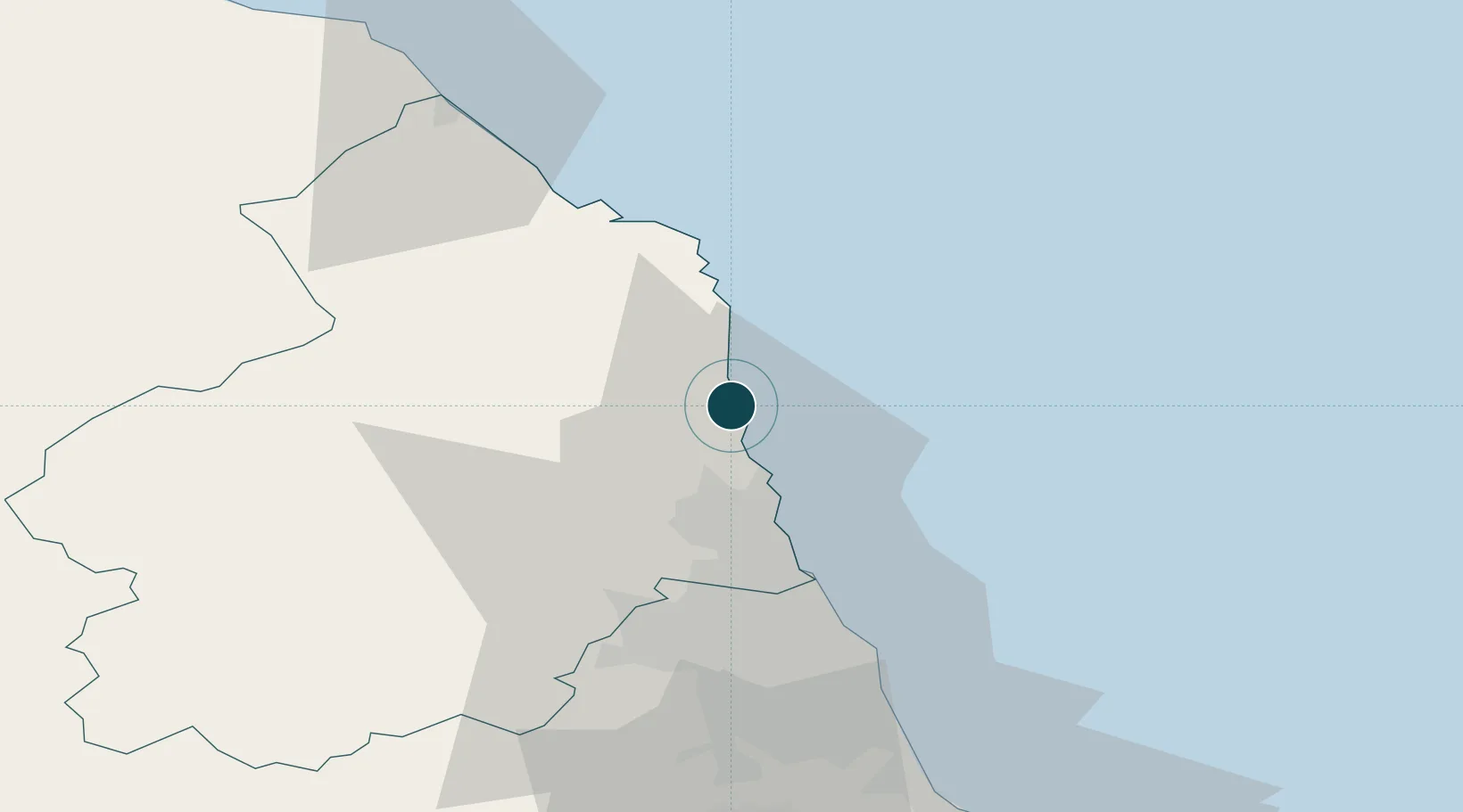
Location
Nearby Logistics Neighbours
Ports
- 1Blyth25 km
- 2Tynemouth39 km
- 3Sunderland48 km
- 4Berwick-Upon-Tweed55 km
- 5Seaham58 km
Airports
- 1Newcastle International Airport34 km
- 2RAF Spadeadam69 km
- 3Carlisle Lake District Airport90 km
- 4Teesside International Airport92 km
- 5RAF Leeming115 km
Trade Zones
DatabookThe Record of Consolidated Knowledge
United Kingdom beyond logistics?