UN/LOCODE hub · United Kingdom
GBXCS
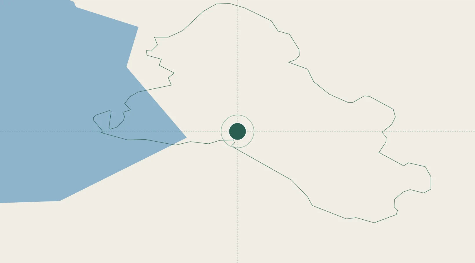
Crossmaglen
54.1167°, -7.0000°
1,415
Population
1
Transport functions
Transport Functions
Multimodal
Hub Profile
Place type
Populated place
Region
Northern Ireland
Population
1,415
Time zone
Europe/London
Elevation
126 m
Location
Nearby Logistics Neighbours
Cities
- 1Newtownhamilton23 km
- 2Bessbrook32 km
- 3Clogher36 km
- 4Augher37 km
- 5Ballyconnell38 km
Ports
- 1Warren Point49 km
- 2Greenore57 km
- 3Drogheda64 km
- 4Kilkeel67 km
- 5Belfast90 km
Airports
- 1Enniskillen/St Angelo Airport53 km
- 2Belfast International Airport79 km
- 3Dublin Airport91 km
- 4Weston Airport91 km
- 5George Best Belfast City Airport92 km
Trade Zones
DatabookThe Record of Consolidated Knowledge
United Kingdom beyond logistics?