Medium airport · United Kingdom
George Best Belfast City AirportEGAC
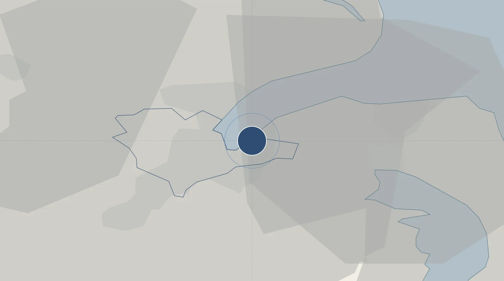
54.6181°, -5.8725°
6,001 ft
Longest runway
1
Runways
15 ft
Elevation
Runway & Layout

Radio Frequencies
ATIS
136.625 MHz
TWR
122.825 MHz
BELFAST TWR
APP
130.85 MHz
BELFAST APP
Runways · 1
| Runway | Dimensions | Surface | True heading | Lit |
|---|---|---|---|---|
| 04/22 | 6,001 × 148ft | Asphalt | 035° | ✓ |
Airport Specifications
IATA code
BHD
ICAO code
EGAC
Airport class
Medium airport
Scheduled service
Yes
Runway surface
Asphalt
Served city
Belfast
Location
Nearby Logistics Neighbours
Airports
- 1Belfast International Airport23 km
- 2Campbeltown Airport92 km
- 3City of Derry Airport95 km
- 4Isle of Man Airport100 km
- 5Enniskillen/St Angelo Airport117 km
Cities
- 1Belfast2 km
- 2Holywood4 km
- 3Newtonabbey5 km
- 4Newtownabbey5 km
- 5Cloghan Point/Carrickfergus10 km
Trade Zones
DatabookThe Record of Consolidated Knowledge
United Kingdom beyond logistics?