Transport Functions
Multimodal
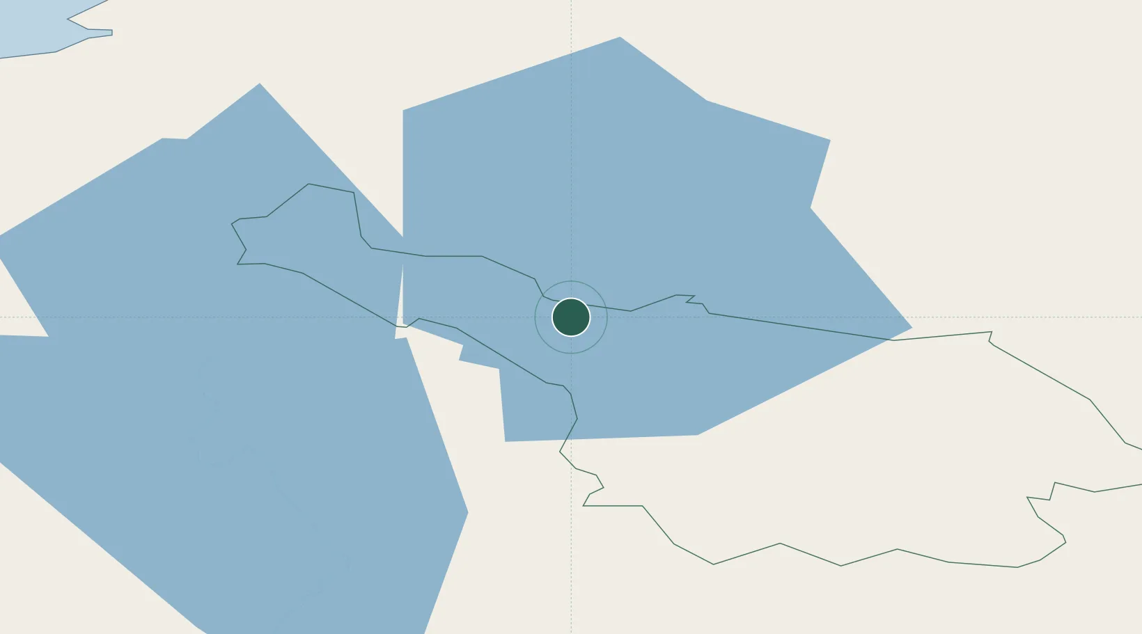
Hub Profile
Place type
Populated place
Region
Ulster
Population
1,105
Time zone
Europe/Dublin
Elevation
53 m
Location
Nearby Logistics Neighbours
Cities
- 1Newtownbutler20 km
- 2Crossmaglen38 km
- 3Clogher42 km
- 4Manorhamilton43 km
- 5Augher45 km
Ports
- 1Sligo60 km
- 2Killybegs80 km
- 3Warren Point87 km
- 4Greenore95 km
- 5Drogheda95 km
Airports
- 1Enniskillen/St Angelo Airport32 km
- 2Sligo Airport69 km
- 3Ireland West Airport Knock84 km
- 4City of Derry Airport107 km
- 5Belfast International Airport107 km
Trade Zones
DatabookThe Record of Consolidated Knowledge
Ireland beyond logistics?