Channel & Berth Profile
Pilotage, Tugs & Services
Shore powerYES
Potable waterYES
Diesel bunkersYES
MedicalYES
Facilities & Capabilities
Container—
Ro-Ro—
Liquid bulk—
Dry bulk—
Oil terminal—
Break bulk—
Dry dock—
RepairsNO
BunkeringYES
Rail link—
Dangerous cargo—
ISPS security—
Harbour Specifications
Harbour size
Very Small
Harbour type
Coastal (Natural)
Shelter
Fair
Water body
Irish Sea; North Atlantic Ocean
Tidal range
4 m
Overhead limit
No
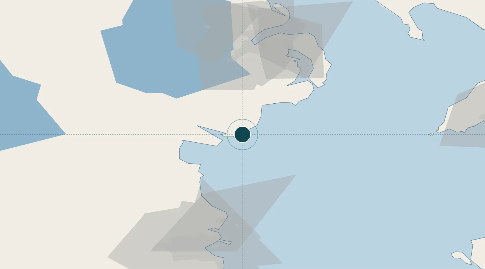
Location
Nearby Logistics Neighbours
Ports
- 1Greenore10 km
- 2Warren Point18 km
- 3Ardglass34 km
- 4Drogheda43 km
- 5Belfast63 km
Cities
- 1Ballymartin3 km
- 2Annalong8 km
- 3Greencastle8 km
- 4Rostrevor15 km
- 5Newry29 km
Airports
- 1George Best Belfast City Airport64 km
- 2Belfast International Airport69 km
- 3Dublin Airport72 km
- 4Weston Airport85 km
- 5Casement Air Base89 km
Trade Zones
DatabookThe Record of Consolidated Knowledge
United Kingdom beyond logistics?