Seaport · Ireland

DroghedaIEDRO

53.7167°, -6.3000°
4.9 m
Channel depth
7.8
Port liner connectivity

Channel & Berth Profile

SEA LEVEL (CD)CHANNEL BEDAnchorage · 1.8 mOil terminal · 1.8 mChannel · 4.9 mCargo pier · 6.2 m
NGA World Port Index

Pilotage, Tugs & Services

Pilotage compulsoryYES
Pilotage availableYES
Pilotage advisableYES
Local assistanceYES
Potable waterYES
MedicalYES
NGA World Port Index

Facilities & Capabilities

ContainerYES
Ro-RoNO
Liquid bulkYES
Dry bulkYES
Oil terminalYES
Break bulkYES
Dry dock
RepairsNO
BunkeringYES
Rail linkYES
Dangerous cargo
ISPS securityYES
NGA World Port Index

Harbour Specifications

Harbour size
Very Small
NGA World Port Index
Harbour type
River (Basins)
NGA World Port Index
Shelter
Fair
NGA World Port Index
Water body
Irish Sea; North Atlantic Ocean
NGA World Port Index
Tidal range
5 m
NGA World Port Index
Overhead limit
Yes
NGA World Port Index
Pilotage
Yes
NGA World Port Index

Liner Connectivity

7.8
PLSCI

Port Liner Shipping Connectivity Index for Drogheda, as published by UNCTAD for the latest available quarter. Higher values indicate stronger scheduled liner-shipping integration.

Shown relative to the highest per-port PLSCI in the dataset (1,657.9).
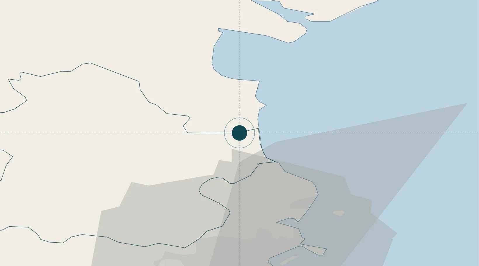
UNCTAD · Port Liner Shipping Connectivity Index

Location

Location of IEDRO
Natural Earth 10m (public domain) · Meath · IEDRO · 53.72, -6.30GoogleOSMYandex

Nearby Logistics Neighbours

Ports
  1. 1Greenore37 km
  2. 2Dublin41 km
  3. 3Kilkeel43 km
  4. 4Warren Point43 km
  5. 5Ardglass76 km
Nearest neighbours — logibook spatial index (haversine) over the source coordinates
Cities
  1. 1Tom Roes Point Terminal/Drogheda0 km
  2. 2Drogheda Maxol Facility2 km
  3. 3Town Quays/Drogheda2 km
  4. 4Flogas Products Drogheda3 km
  5. 5Clogherhead9 km
Nearest neighbours — logibook spatial index (haversine) over the source coordinates
Airports
  1. 1Dublin Airport32 km
  2. 2Weston Airport43 km
  3. 3Casement Air Base47 km
  4. 4George Best Belfast City Airport104 km
  5. 5Belfast International Airport105 km
Nearest neighbours — logibook spatial index (haversine) over the source coordinates
Trade Zones
  1. 1Dublin International Financial Services Centre41 km
  2. 2Isle of Man Free Zone and Business Park117 km
  3. 3Shannon Free Zone206 km
  4. 4Blackpool Enterprise Zone215 km
  5. 5Mersey Waters Enterprise Zone220 km
Nearest neighbours — logibook spatial index (haversine) over the source coordinates
DatabookThe Record of Consolidated Knowledge
Ireland beyond logistics?
Browse databook

All Sources

Portsthe NGA World Port Index
Public domain (US gov)
Logistics performanceUNCTAD
CC BY 3.0 IGO
AirportsOurAirports
Public domain
LocationsUN/LOCODE
UN/LOCODE — free
Trade Zonesthe World Bank SEZ database
CC BY 4.0
Trade ZonesOpen Zone Map
CC BY
← Ireland ports