Seaport · United Kingdom
BelfastGBBEL
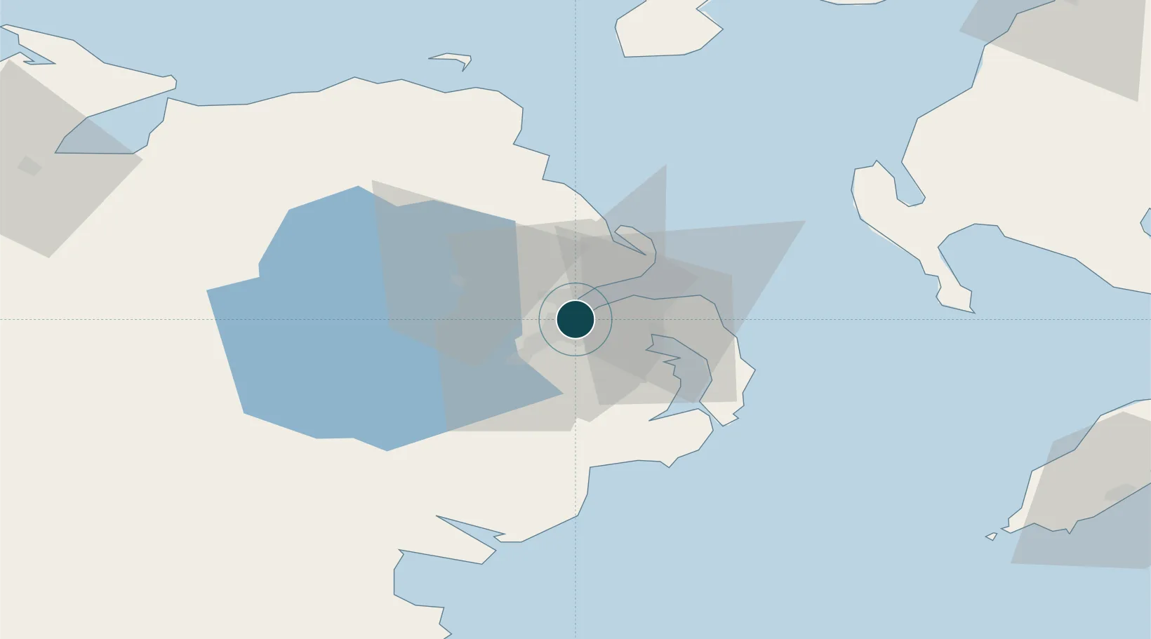
54.6167°, -5.9000°
9.3 m
Channel depth
1
Container terminals
77.4
Port liner connectivity
Channel & Berth Profile
Pilotage, Tugs & Services
Pilotage compulsoryYES
Pilotage availableYES
Pilotage advisableYES
Tug assistanceYES
Salvage tugsYES
Shore powerYES
Potable waterYES
Diesel bunkersYES
MedicalYES
Garbage disposalYES
Facilities & Capabilities
ContainerYES
Ro-RoYES
Liquid bulkYES
Dry bulkYES
Oil terminalYES
Break bulkYES
Dry dockNO
RepairsNO
BunkeringYES
Rail linkYES
Dangerous cargo—
ISPS securityYES
Harbour Specifications
Harbour size
Large
Harbour type
River (Basins)
Shelter
Excellent
Water body
North Atlantic Ocean
Tidal range
2 m
Pilotage
Yes
Liner Connectivity
77.4
PLSCI
Port Liner Shipping Connectivity Index for Belfast, as published by UNCTAD for the latest available quarter. Higher values indicate stronger scheduled liner-shipping integration.
Shown relative to the highest per-port PLSCI in the dataset (1,657.9).
Location
Container Terminals · 1
VICTORIA TERMINAL 3 (VT3)
VIC3 BELFAST CONTAINER TERMINAL
Nearby Logistics Neighbours
Ports
- 1Bangor16 km
- 2Kilroot18 km
- 3Larne27 km
- 4Ardglass43 km
- 5Warren Point62 km
Cities
- 1Newtonabbey4 km
- 2Holywood6 km
- 3Newtownabbey6 km
- 4Dunmurry11 km
- 5Cloghan Point/Carrickfergus11 km
Airports
- 1George Best Belfast City Airport2 km
- 2Belfast International Airport21 km
- 3Campbeltown Airport92 km
- 4City of Derry Airport94 km
- 5Isle of Man Airport102 km
Trade Zones
DatabookThe Record of Consolidated Knowledge
United Kingdom beyond logistics?