Channel & Berth Profile
Pilotage, Tugs & Services
Pilotage compulsoryYES
Pilotage availableYES
Tug assistanceYES
Potable waterYES
Diesel bunkersYES
MedicalYES
Garbage disposalYES
Facilities & Capabilities
ContainerNO
Ro-RoNO
Liquid bulkNO
Dry bulkYES
Oil terminalNO
Break bulkYES
Dry dock—
RepairsNO
BunkeringYES
Rail linkYES
Dangerous cargo—
ISPS securityYES
Harbour Specifications
Harbour size
Very Small
Harbour type
Coastal (Natural)
Shelter
Good
Water body
Irish Sea; North Atlantic Ocean
Tidal range
4 m
Overhead limit
Yes
Pilotage
Yes
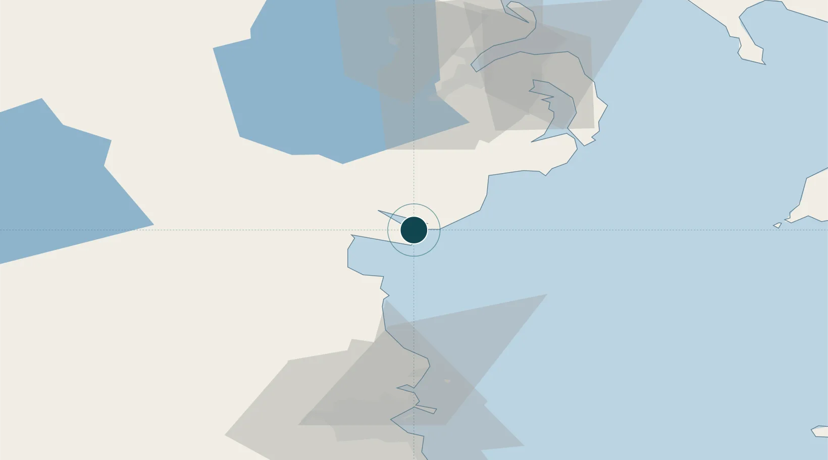
Location
Nearby Logistics Neighbours
Ports
- 1Kilkeel10 km
- 2Warren Point11 km
- 3Drogheda37 km
- 4Ardglass43 km
- 5Belfast67 km
Cities
- 1Greencastle2 km
- 2Rostrevor9 km
- 3Kilkeel10 km
- 4Ballymartin13 km
- 5Annalong17 km
Airports
- 1George Best Belfast City Airport67 km
- 2Dublin Airport68 km
- 3Belfast International Airport70 km
- 4Weston Airport79 km
- 5Casement Air Base84 km
Trade Zones
DatabookThe Record of Consolidated Knowledge
Ireland beyond logistics?