Transport Functions
Multimodal
Hub Profile
Place type
Populated place
Region
Northern Ireland
Time zone
Europe/London
Elevation
86 m
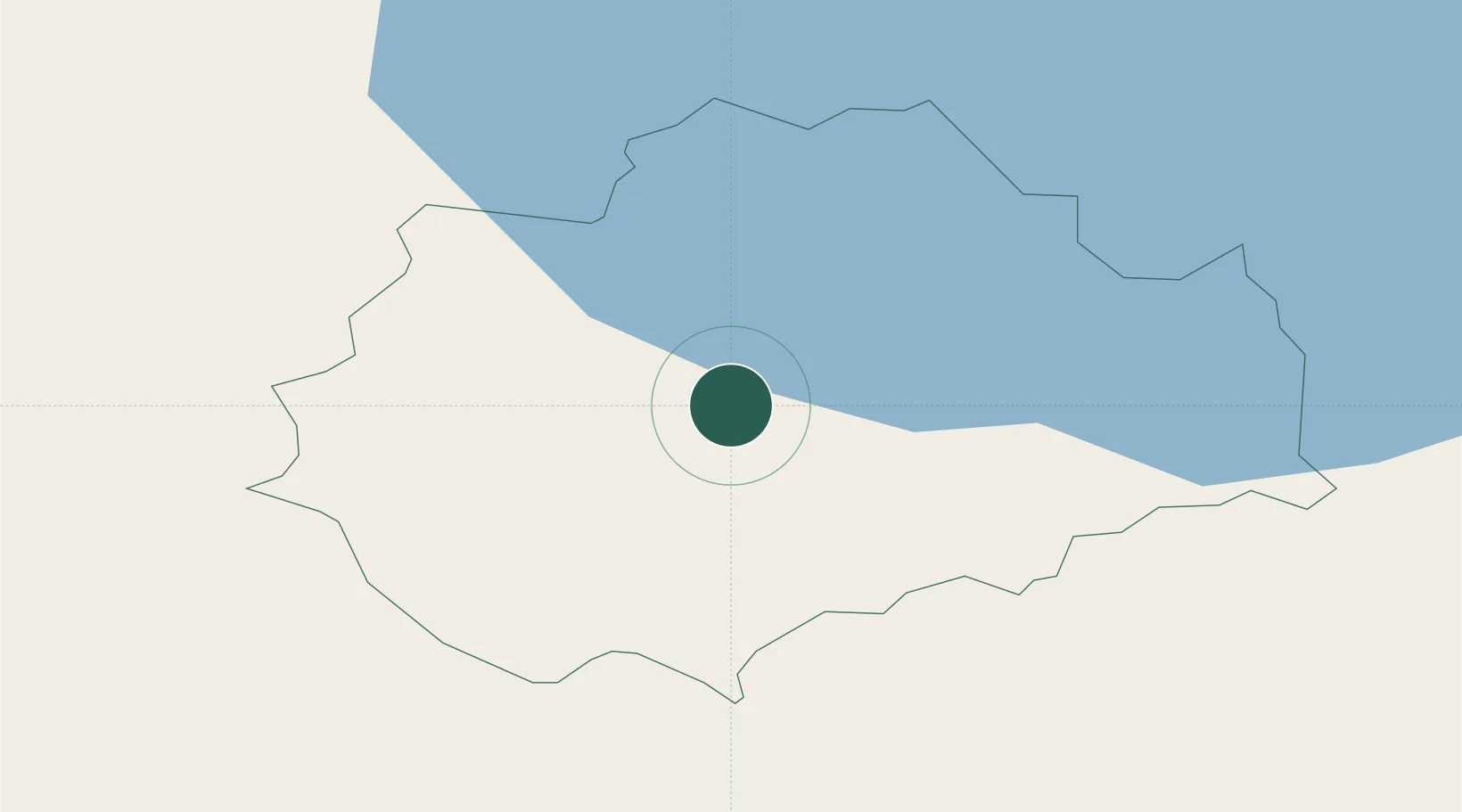
Location
Nearby Logistics Neighbours
Cities
- 1Newtownhamilton20 km
- 2Newry23 km
- 3Donaghmore26 km
- 4Crossmaglen32 km
- 5Dromore34 km
Ports
- 1Warren Point36 km
- 2Greenore46 km
- 3Kilkeel53 km
- 4Belfast59 km
- 5Ardglass67 km
Airports
Trade Zones
DatabookThe Record of Consolidated Knowledge
United Kingdom beyond logistics?