Transport Functions
Port
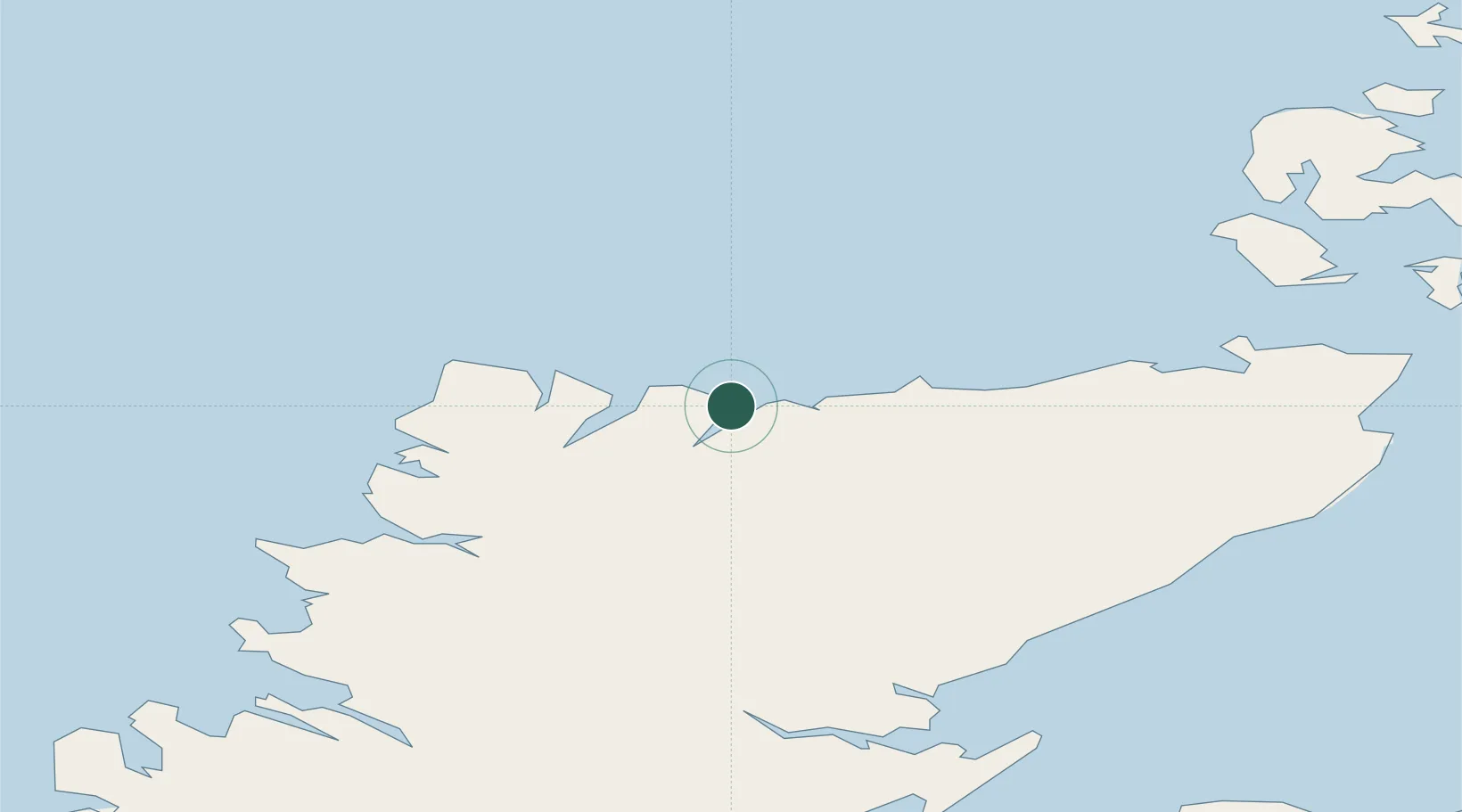
Hub Profile
Place type
Populated place
Region
Scotland
Time zone
Europe/London
Elevation
34 m
Location
Nearby Logistics Neighbours
Cities
- 1Skerray7 km
- 2Tongue7 km
- 3Erribol13 km
- 4Kirtomy16 km
- 5Portskerra29 km
Ports
- 1Scrabster Harbor51 km
- 2Helmsdale Harbor64 km
- 3Lyness78 km
- 4Wick78 km
- 5Stromness80 km
Airports
- 1Wick John O'Groats Airport77 km
- 2Kirkwall Airport99 km
- 3RAF Lossiemouth112 km
- 4Inverness Airport112 km
- 5Stornoway Airport117 km
Trade Zones
DatabookThe Record of Consolidated Knowledge
United Kingdom beyond logistics?