UN/LOCODE hub · United Kingdom
GBICH
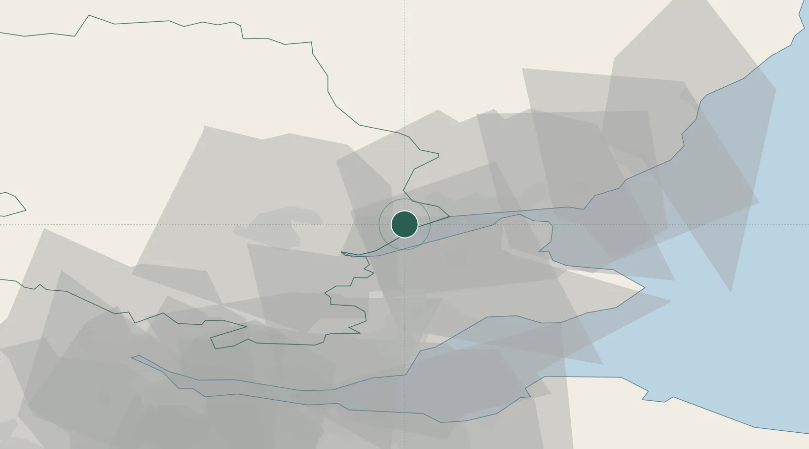
Inchture
56.4333°, -3.1667°
1,220
Population
2
Transport functions
Transport Functions
Port
Road
Hub Profile
Place type
Populated place
Region
Scotland
Population
1,220
Time zone
Europe/London
Elevation
18 m
Location
Nearby Logistics Neighbours
Cities
- 1Lasswade4 km
- 2Milton Bridge10 km
- 3Dundee14 km
- 4Perth17 km
- 5Tayport18 km
Ports
- 1Dundee14 km
- 2Perth18 km
- 3Methil30 km
- 4Burntisland43 km
- 5Braefoot Bay Terminal45 km
Airports
- 1Dundee Airport9 km
- 2Leuchars Station Airfield20 km
- 3Edinburgh Airport55 km
- 4Glasgow Airport100 km
- 5Aberdeen International Airport104 km
Trade Zones
DatabookThe Record of Consolidated Knowledge
United Kingdom beyond logistics?