UN/LOCODE hub · United Kingdom
GBSRY

South Ronaldsay

58.7333°, -2.9667°
1
Transport functions

Transport Functions

Port
UN/LOCODE

Hub Profile

Region
ORK
GeoNames

Location

Location of GBSRY
Natural Earth 10m (public domain) · ORK · GBSRY · 58.73, -2.97GoogleOSMYandex

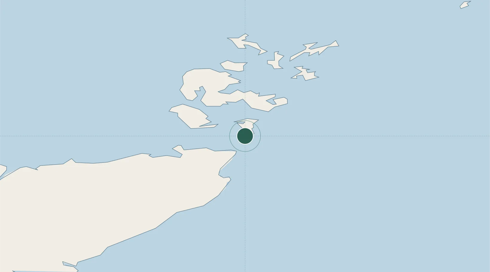
Nearby Logistics Neighbours

Cities
  1. 1Burwick2 km
  2. 2Stroma10 km
  3. 3Saint Margaret's Hope, South Ronaldsay11 km
  4. 4Saint Margaret's Hope11 km
  5. 5John O'Groats13 km
Nearest neighbours — logibook spatial index (haversine) over the source coordinates
Ports
  1. 1St Margarets Hope11 km
  2. 2Lyness17 km
  3. 3Scapa Bay24 km
  4. 4Kirkwall28 km
  5. 5Stromness32 km
Nearest neighbours — logibook spatial index (haversine) over the source coordinates
Airports
  1. 1Kirkwall Airport25 km
  2. 2Wick John O'Groats Airport31 km
  3. 3Stronsay Airport51 km
  4. 4Eday Airport52 km
  5. 5Sanday Airport62 km
Nearest neighbours — logibook spatial index (haversine) over the source coordinates
Trade Zones
  1. 1Prestwick Airport Free Zone372 km
  2. 2Carlisle Kingmoor Park Enterprise Zone422 km
  3. 3North Eastern Enterprise Zone427 km
  4. 4Tees Valley Enterprise Zone472 km
  5. 5Isle of Man Free Zone and Business Park526 km
Nearest neighbours — logibook spatial index (haversine) over the source coordinates
DatabookThe Record of Consolidated Knowledge
United Kingdom beyond logistics?
Browse databook

All Sources

LocationsUN/LOCODE
UN/LOCODE — free
Portsthe NGA World Port Index
Public domain (US gov)
AirportsOurAirports
Public domain
Trade Zonesthe World Bank SEZ database
CC BY 4.0
Trade ZonesOpen Zone Map
CC BY
← United Kingdom locations