Small airport · United Kingdom
Sanday AirportEGES
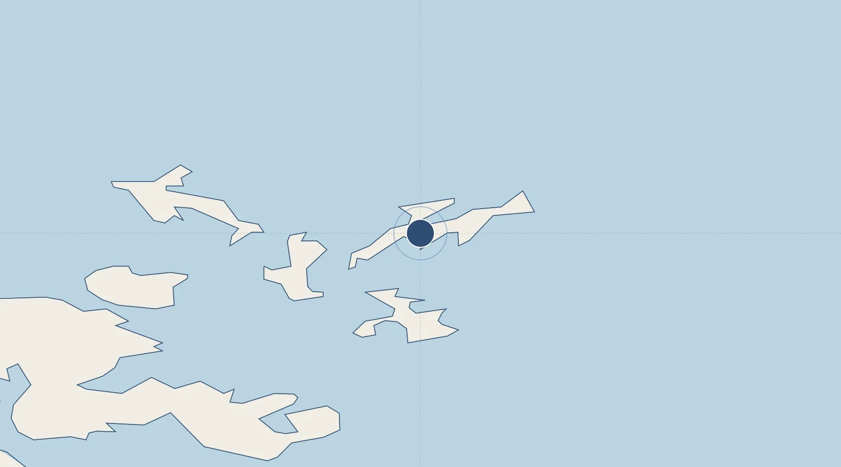
59.2503°, -2.5767°
1,532 ft
Longest runway
3
Runways
68 ft
Elevation
Runway & Layout

Runways · 3
| Runway | Dimensions | Surface | True heading | Lit |
|---|---|---|---|---|
| 03/21 | 1,532 × 59ft | Graded Hardcore | 026° | — |
| 11/29 | 1,397 × 98ft | Grass | 105° | — |
| 17/35 | 1,266 × 98ft | Grass | 165° | — |
Airport Specifications
IATA code
NDY
ICAO code
EGES
Airport class
Small airport
Scheduled service
Yes
Runway surface
Graded Hardcore
Served city
Sanday
Location
Nearby Logistics Neighbours
Airports
- 1Stronsay Airport11 km
- 2Eday Airport13 km
- 3North Ronaldsay Airport15 km
- 4Papa Westray Airport22 km
- 5Westray Airport24 km
Cities
- 1Kettletoft, Sanday2 km
- 2Loth, Sanday9 km
- 3Whitehall Village, Stronsay13 km
- 4North Ronaldsay14 km
- 5Backaland, Eday15 km
Ports
- 1Kettletoft2 km
- 2Whitehall13 km
- 3Pierowall25 km
- 4Kirkwall37 km
- 5Scapa Bay41 km
Trade Zones
DatabookThe Record of Consolidated Knowledge
United Kingdom beyond logistics?