UN/LOCODE hub · United Kingdom
GBSOA

Stroma

58.6833°, -3.1167°
1
Transport functions

Transport Functions

Port
UN/LOCODE

Hub Profile

Region
HLD
GeoNames

Location

Location of GBSOA
Natural Earth 10m (public domain) · HLD · GBSOA · 58.68, -3.12GoogleOSMYandex

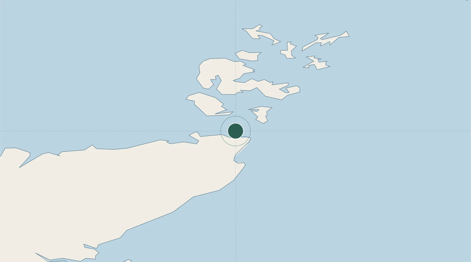
Nearby Logistics Neighbours

Cities
  1. 1Gills4 km
  2. 2John O'Groats6 km
  3. 3Scarfskerry9 km
  4. 4South Ronaldsay10 km
  5. 5Burwick11 km
Nearest neighbours — logibook spatial index (haversine) over the source coordinates
Ports
  1. 1Lyness17 km
  2. 2St Margarets Hope19 km
  3. 3Scrabster Harbor26 km
  4. 4Wick28 km
  5. 5Scapa Bay31 km
Nearest neighbours — logibook spatial index (haversine) over the source coordinates
Airports
  1. 1Wick John O'Groats Airport25 km
  2. 2Kirkwall Airport33 km
  3. 3Stronsay Airport59 km
  4. 4Eday Airport60 km
  5. 5Sanday Airport70 km
Nearest neighbours — logibook spatial index (haversine) over the source coordinates
Trade Zones
  1. 1Prestwick Airport Free Zone364 km
  2. 2Carlisle Kingmoor Park Enterprise Zone417 km
  3. 3North Eastern Enterprise Zone423 km
  4. 4Tees Valley Enterprise Zone469 km
  5. 5Isle of Man Free Zone and Business Park519 km
Nearest neighbours — logibook spatial index (haversine) over the source coordinates
DatabookThe Record of Consolidated Knowledge
United Kingdom beyond logistics?
Browse databook

All Sources

LocationsUN/LOCODE
UN/LOCODE — free
Portsthe NGA World Port Index
Public domain (US gov)
AirportsOurAirports
Public domain
Trade Zonesthe World Bank SEZ database
CC BY 4.0
Trade ZonesOpen Zone Map
CC BY
← United Kingdom locations