Transport Functions
Port
Road
Hub Profile
Place type
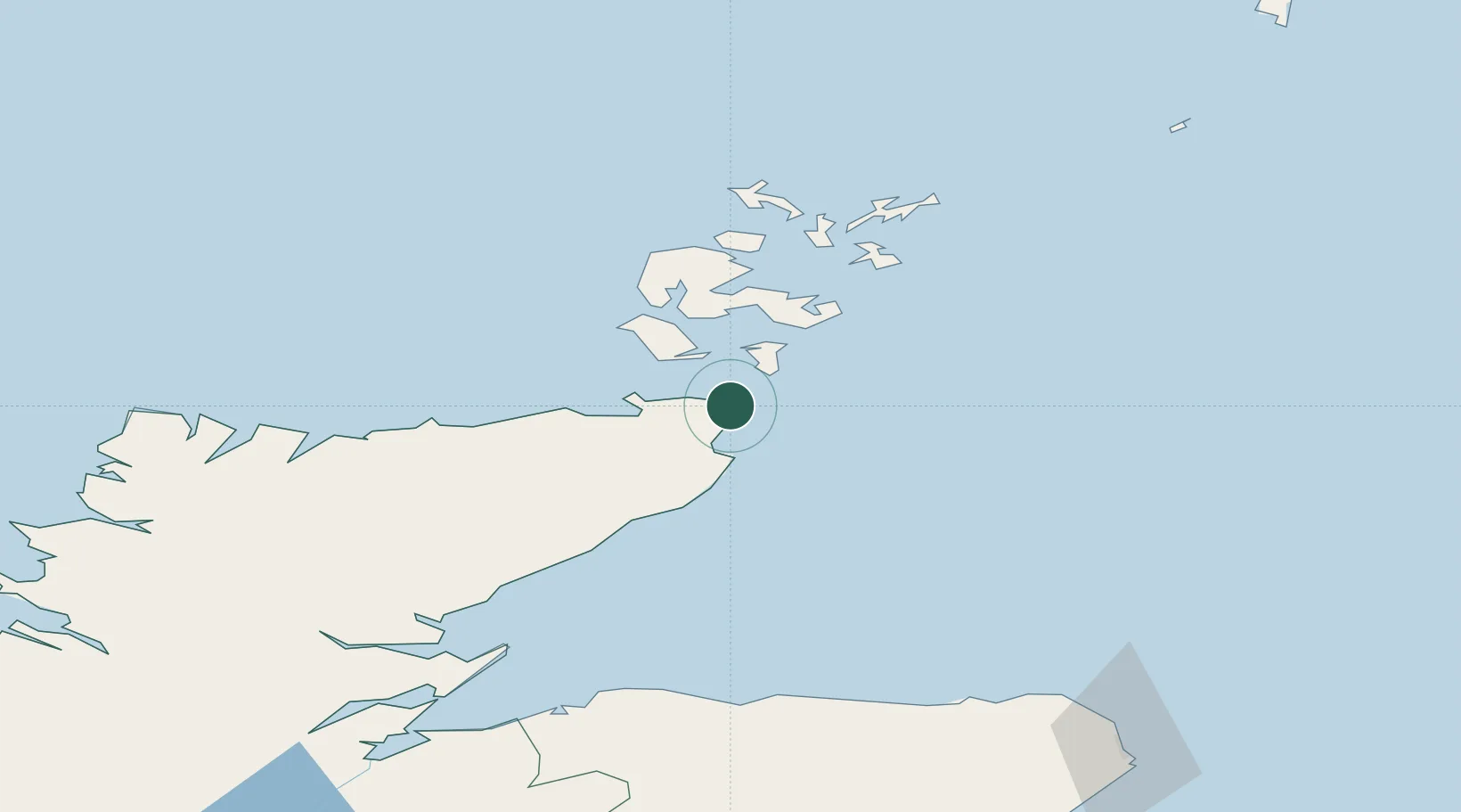
Populated place
Region
Scotland
Time zone
Europe/London
Elevation
31 m
Location
Nearby Logistics Neighbours
Cities
- 1Gills5 km
- 2Stroma6 km
- 3Auckengill7 km
- 4Keiss12 km
- 5Scarfskerry12 km
Ports
- 1Wick22 km
- 2St Margarets Hope23 km
- 3Lyness24 km
- 4Scrabster Harbor28 km
- 5Scapa Bay36 km
Airports
- 1Wick John O'Groats Airport20 km
- 2Kirkwall Airport37 km
- 3Stronsay Airport63 km
- 4Eday Airport64 km
- 5Sanday Airport74 km
Trade Zones
DatabookThe Record of Consolidated Knowledge
United Kingdom beyond logistics?