Transport Functions
Port
Road
Hub Profile
Place type
Populated place
Region
Scotland
Time zone
Europe/London
Elevation
5 m
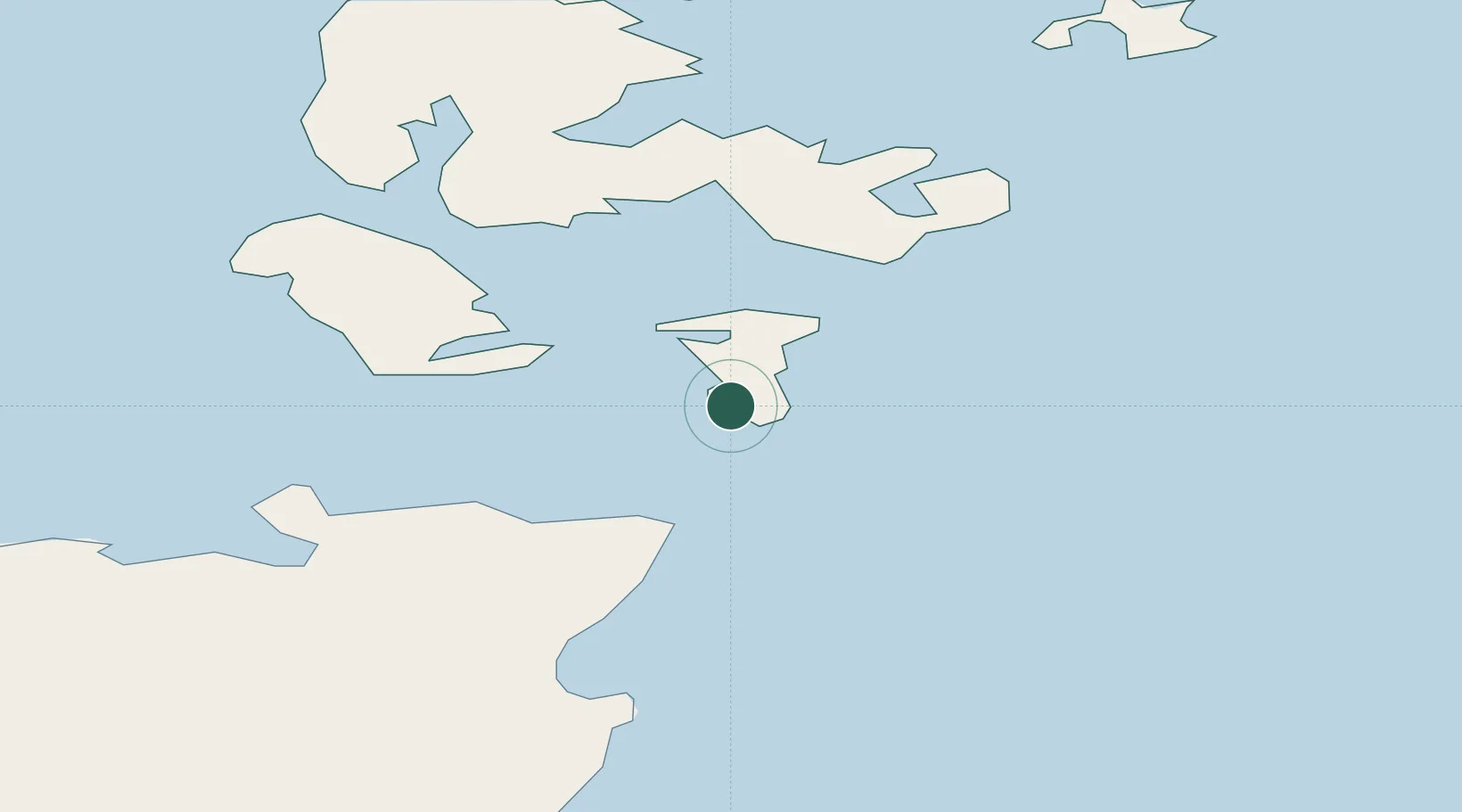
Location
Nearby Logistics Neighbours
Cities
- 1South Ronaldsay2 km
- 2Saint Margaret's Hope, South Ronaldsay9 km
- 3Saint Margaret's Hope9 km
- 4Stroma11 km
- 5Burray12 km
Ports
- 1St Margarets Hope9 km
- 2Lyness16 km
- 3Scapa Bay22 km
- 4Kirkwall26 km
- 5Stromness31 km
Airports
- 1Kirkwall Airport23 km
- 2Wick John O'Groats Airport33 km
- 3Stronsay Airport49 km
- 4Eday Airport50 km
- 5Sanday Airport60 km
Trade Zones
DatabookThe Record of Consolidated Knowledge
United Kingdom beyond logistics?