Seaport · United Kingdom

KirkwallGBKWL

58.9833°, -2.9667°
4.9 m
Channel depth
8.2
Port liner connectivity
Kirkwall is also a UN/LOCODE logistics hub →

Channel & Berth Profile

SEA LEVEL (CD)CHANNEL BEDChannel · 4.9 mCargo pier · 5.0 mOil terminal · 5.0 mAnchorage · 12.5 m
NGA World Port Index

Pilotage, Tugs & Services

Pilotage compulsoryYES
Pilotage availableYES
Tug assistanceYES
Potable waterYES
Diesel bunkersYES
MedicalYES
Garbage disposalYES
NGA World Port Index

Facilities & Capabilities

ContainerYES
Ro-RoYES
Liquid bulkYES
Dry bulk
Oil terminalNO
Break bulkYES
Dry dock
RepairsNO
BunkeringYES
Rail linkNO
Dangerous cargo
ISPS securityYES
NGA World Port Index

Harbour Specifications

Harbour size
Very Small
NGA World Port Index
Harbour type
Coastal (Breakwater)
NGA World Port Index
Shelter
Good
NGA World Port Index
Water body
North Sea; North Atlantic Ocean
NGA World Port Index
Tidal range
2 m
NGA World Port Index
Pilotage
Yes
NGA World Port Index

Liner Connectivity

8.2
PLSCI

Port Liner Shipping Connectivity Index for Kirkwall, as published by UNCTAD for the latest available quarter. Higher values indicate stronger scheduled liner-shipping integration.

Shown relative to the highest per-port PLSCI in the dataset (1,657.9).
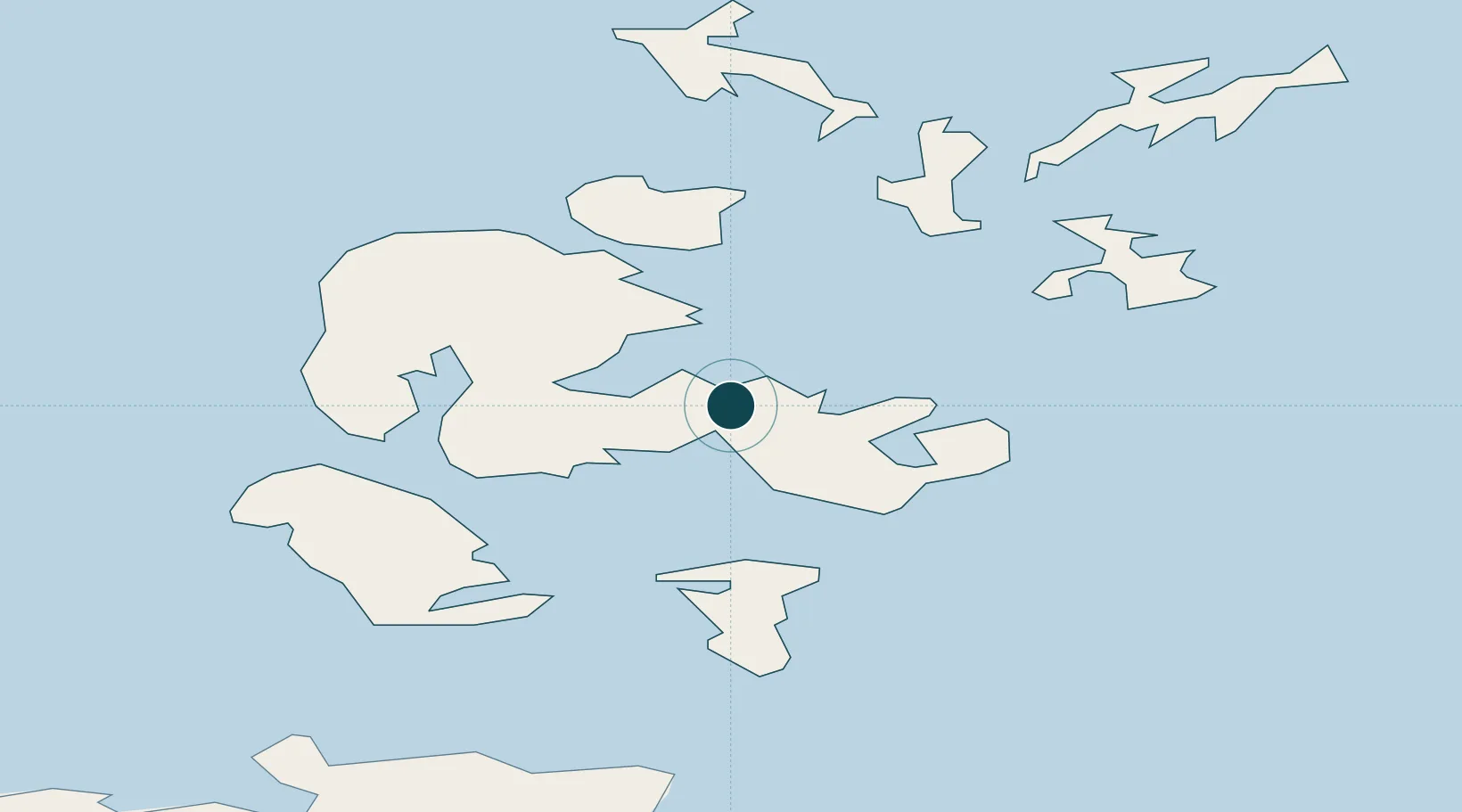
UNCTAD · Port Liner Shipping Connectivity Index

Location

Location of GBKWL
Natural Earth 10m (public domain) · Orkney · GBKWL · 58.98, -2.97GoogleOSMYandex

Nearby Logistics Neighbours

Ports
  1. 1Scapa Bay4 km
  2. 2St Margarets Hope17 km
  3. 3Stromness19 km
  4. 4Lyness21 km
  5. 5Whitehall27 km
Nearest neighbours — logibook spatial index (haversine) over the source coordinates
Cities
  1. 1Hatston2 km
  2. 2Scapa2 km
  3. 3Deerness7 km
  4. 4Shapinsay10 km
  5. 5Holm10 km
Nearest neighbours — logibook spatial index (haversine) over the source coordinates
Airports
  1. 1Kirkwall Airport5 km
  2. 2Eday Airport26 km
  3. 3Stronsay Airport27 km
  4. 4Sanday Airport37 km
  5. 5Westray Airport41 km
Nearest neighbours — logibook spatial index (haversine) over the source coordinates
Trade Zones
  1. 1Prestwick Airport Free Zone399 km
  2. 2Carlisle Kingmoor Park Enterprise Zone450 km
  3. 3North Eastern Enterprise Zone454 km
  4. 4Tees Valley Enterprise Zone499 km
  5. 5Isle of Man Free Zone and Business Park553 km
Nearest neighbours — logibook spatial index (haversine) over the source coordinates
DatabookThe Record of Consolidated Knowledge
United Kingdom beyond logistics?
Browse databook

All Sources

Portsthe NGA World Port Index
Public domain (US gov)
Logistics performanceUNCTAD
CC BY 3.0 IGO
AirportsOurAirports
Public domain
LocationsUN/LOCODE
UN/LOCODE — free
Trade Zonesthe World Bank SEZ database
CC BY 4.0
Trade ZonesOpen Zone Map
CC BY
← United Kingdom ports