UN/LOCODE hub · United Kingdom
GBSMH

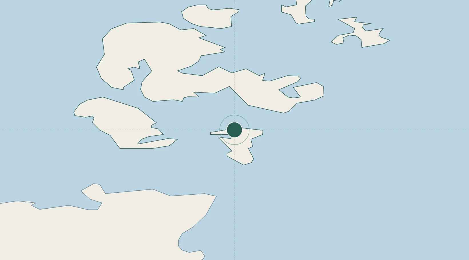
Saint Margaret's Hope, South Ronaldsay

58.8333°, -2.9667°
2
Transport functions

Transport Functions

Port
Road
UN/LOCODE

Hub Profile

Region
ORK
GeoNames

Location

Location of GBSMH
Natural Earth 10m (public domain) · ORK · GBSMH · 58.83, -2.97GoogleOSMYandex

Nearby Logistics Neighbours

Cities
  1. 1Saint Margaret's Hope1 km
  2. 2Burray3 km
  3. 3Scapa Flow8 km
  4. 4Holm8 km
  5. 5Burwick9 km
Nearest neighbours — logibook spatial index (haversine) over the source coordinates
Ports
  1. 1St Margarets Hope1 km
  2. 2Scapa Bay13 km
  3. 3Lyness13 km
  4. 4Kirkwall17 km
  5. 5Stromness24 km
Nearest neighbours — logibook spatial index (haversine) over the source coordinates
Airports
  1. 1Kirkwall Airport14 km
  2. 2Stronsay Airport40 km
  3. 3Eday Airport41 km
  4. 4Wick John O'Groats Airport42 km
  5. 5Sanday Airport52 km
Nearest neighbours — logibook spatial index (haversine) over the source coordinates
Trade Zones
  1. 1Prestwick Airport Free Zone383 km
  2. 2Carlisle Kingmoor Park Enterprise Zone434 km
  3. 3North Eastern Enterprise Zone438 km
  4. 4Tees Valley Enterprise Zone483 km
  5. 5Isle of Man Free Zone and Business Park537 km
Nearest neighbours — logibook spatial index (haversine) over the source coordinates
DatabookThe Record of Consolidated Knowledge
United Kingdom beyond logistics?
Browse databook

All Sources

LocationsUN/LOCODE
UN/LOCODE — free
Portsthe NGA World Port Index
Public domain (US gov)
AirportsOurAirports
Public domain
Trade Zonesthe World Bank SEZ database
CC BY 4.0
Trade ZonesOpen Zone Map
CC BY
← United Kingdom locations