UN/LOCODE hub · United Kingdom
GBSRQ
Southerness
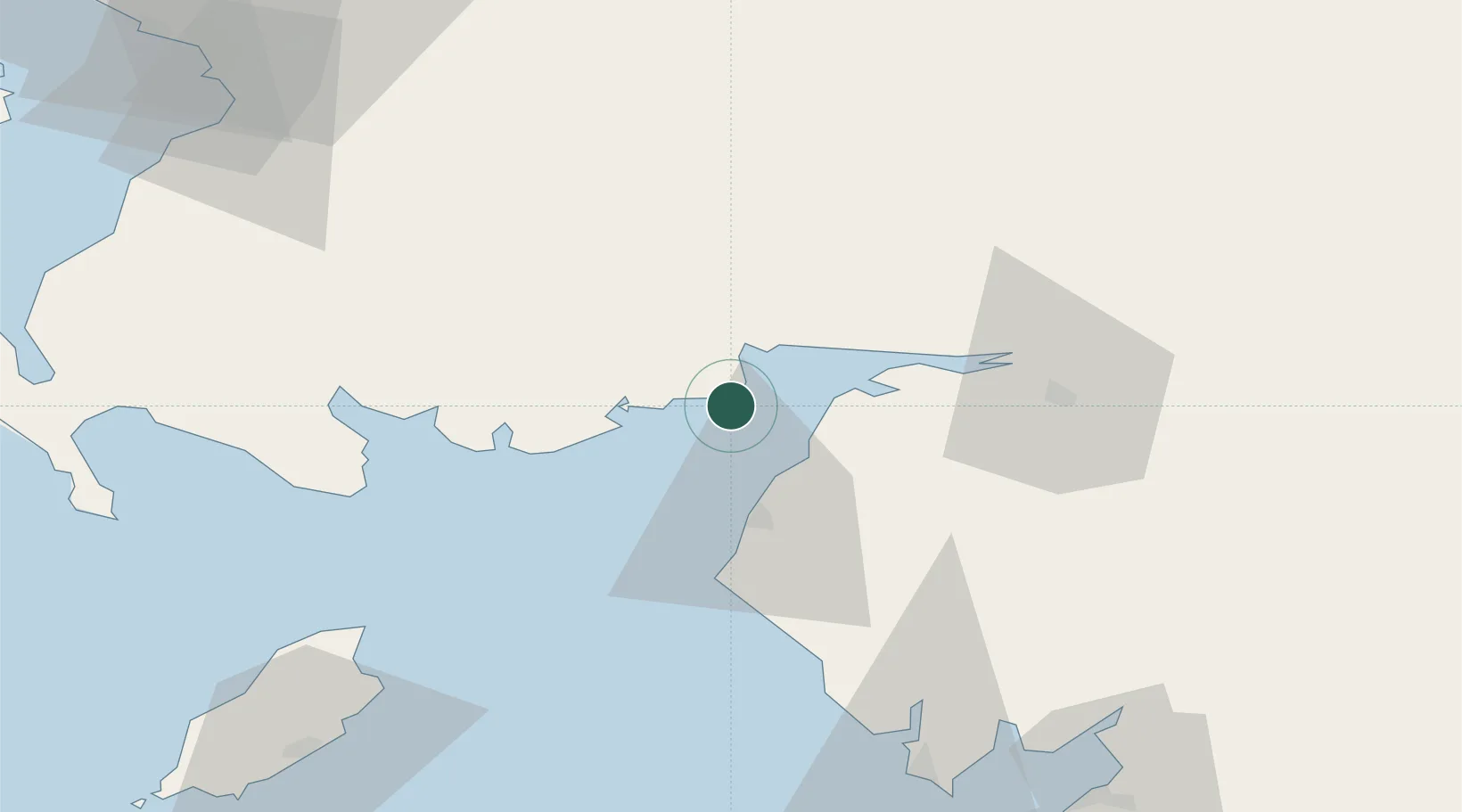
54.8667°, -3.6000°
170
Population
2
Transport functions
Transport Functions
Port
Road
Hub Profile
Place type
Populated place
Region
Scotland
Population
170
Time zone
Europe/London
Elevation
10 m
Location
Nearby Logistics Neighbours
Cities
- 1Carsethorn6 km
- 2Kippford12 km
- 3Cleator Moor16 km
- 4Dumfries20 km
- 5Aspatria22 km
Ports
- 1Silloth13 km
- 2Workington33 km
- 3Ramsey79 km
- 4Barrow In Furness87 km
- 5Stranraer92 km
Airports
- 1Carlisle Lake District Airport51 km
- 2RAF Spadeadam70 km
- 3Barrow Walney Island Airport85 km
- 4Glasgow Prestwick Airport94 km
- 5Isle of Man Airport109 km
Trade Zones
DatabookThe Record of Consolidated Knowledge
United Kingdom beyond logistics?