Channel & Berth Profile
Pilotage, Tugs & Services
Pilotage compulsoryNO
Pilotage availableYES
Local assistanceYES
Shore powerYES
Potable waterYES
Diesel bunkersYES
MedicalYES
Garbage disposalYES
Facilities & Capabilities
Container—
Ro-Ro—
Liquid bulk—
Dry bulk—
Oil terminal—
Break bulk—
Dry dock—
RepairsNO
BunkeringYES
Rail linkYES
Dangerous cargo—
ISPS security—
Harbour Specifications
Harbour size
Very Small
Harbour type
River (Basins)
Shelter
Good
Water body
North Atlantic Ocean
Tidal range
3 m
Pilotage
No
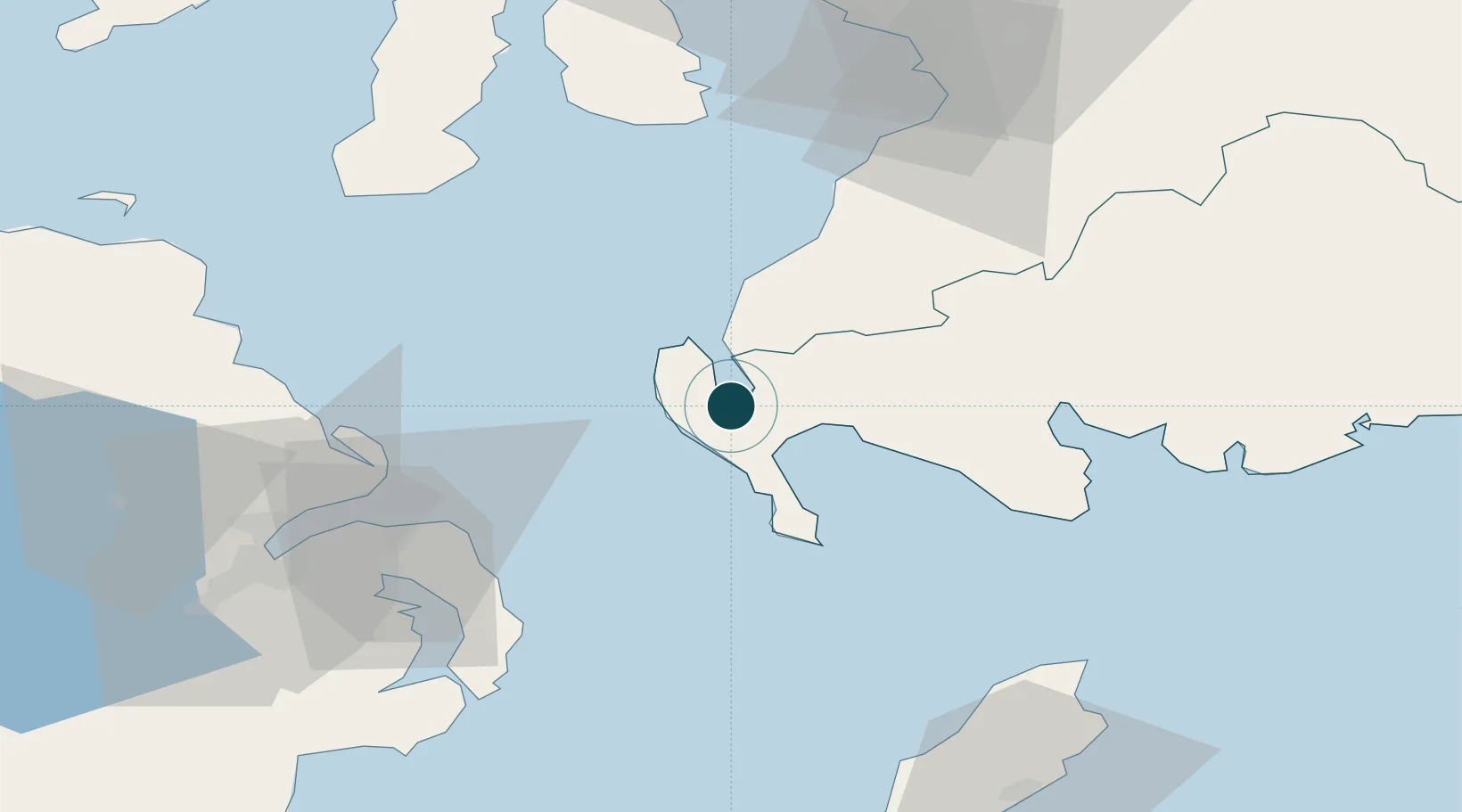
Location
Nearby Logistics Neighbours
Cities
- 1Cairnryan8 km
- 2Portpatrick8 km
- 3Loch Ryan Pt9 km
- 4Glenluce13 km
- 5Ballantrae21 km
Airports
Trade Zones
DatabookThe Record of Consolidated Knowledge
United Kingdom beyond logistics?