UN/LOCODE hub · United Kingdom
GBDUM
Dumfries
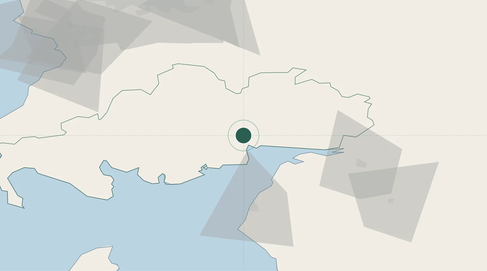
55.0500°, -3.6000°
46,500
Population
1
Transport functions
Transport Functions
Port
Hub Profile
Place type
Provincial seat
Region
Scotland
Population
46,500
Time zone
Europe/London
Elevation
21 m
Location
Nearby Logistics Neighbours
Cities
- 1Carsethorn15 km
- 2Lockerbie18 km
- 3Johnstonebridge20 km
- 4Southerness20 km
- 5Annan23 km
Ports
- 1Silloth24 km
- 2Workington54 km
- 3Ayr80 km
- 4Troon88 km
- 5Stranraer93 km
Airports
- 1Carlisle Lake District Airport52 km
- 2RAF Spadeadam67 km
- 3Glasgow Prestwick Airport80 km
- 4Edinburgh Airport101 km
- 5Barrow Walney Island Airport105 km
Trade Zones
DatabookThe Record of Consolidated Knowledge
United Kingdom beyond logistics?