Channel & Berth Profile
Pilotage, Tugs & Services
Pilotage compulsoryNO
Pilotage availableYES
Local assistanceYES
Tug assistanceNO
Salvage tugsNO
Potable waterYES
MedicalYES
Garbage disposalYES
Facilities & Capabilities
Container—
Ro-Ro—
Liquid bulk—
Dry bulk—
Oil terminal—
Break bulk—
Dry dock—
RepairsNO
BunkeringYES
Rail linkYES
Dangerous cargo—
ISPS security—
Harbour Specifications
Harbour size
Small
Harbour type
Coastal (Breakwater)
Shelter
Fair
Water body
Irish Sea; North Atlantic Ocean
Tidal range
4 m
Overhead limit
Yes
Pilotage
No
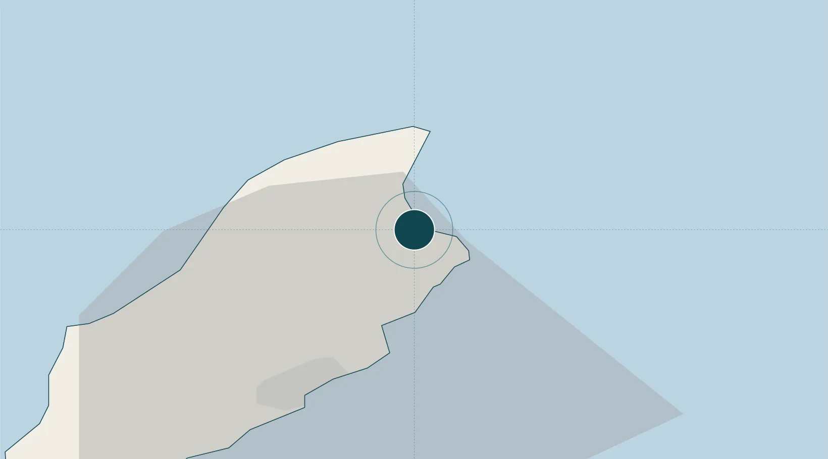
Location
Nearby Logistics Neighbours
Ports
- 1Douglas20 km
- 2Workington55 km
- 3Barrow In Furness77 km
- 4Stranraer78 km
- 5Ardglass81 km
Cities
- 1Bride8 km
- 2Douglas18 km
- 3Santon26 km
- 4Peel28 km
- 5Castletown32 km
Airports
- 1Isle of Man Airport31 km
- 2Barrow Walney Island Airport75 km
- 3George Best Belfast City Airport103 km
- 4Blackpool Airport106 km
- 5Warton Aerodrome116 km
Trade Zones
DatabookThe Record of Consolidated Knowledge
Isle of Man beyond logistics?