UN/LOCODE hub · United Kingdom
GBAXP
Aspatria
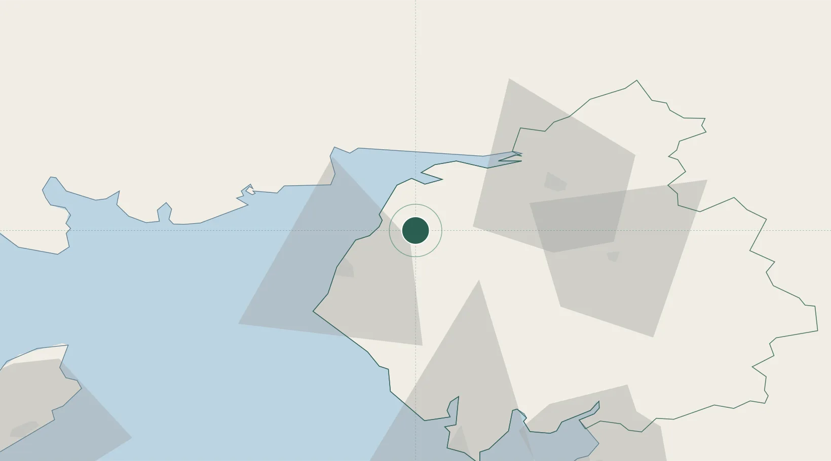
54.7500°, -3.3333°
2,454
Population
2
Transport functions
Transport Functions
Rail
Road
Hub Profile
Place type
Populated place
Region
England
Population
2,454
Time zone
Europe/London
Elevation
72 m
Location
Nearby Logistics Neighbours
Cities
- 1Southerness22 km
- 2Carsethorn24 km
- 3Annan26 km
- 4Cumbria28 km
- 5Gretna Green31 km
Ports
- 1Silloth14 km
- 2Workington28 km
- 3Barrow In Furness71 km
- 4Ramsey82 km
- 5Heysham84 km
Airports
- 1Carlisle Lake District Airport40 km
- 2RAF Spadeadam60 km
- 3Barrow Walney Island Airport69 km
- 4Newcastle International Airport110 km
- 5Blackpool Airport111 km
Trade Zones
DatabookThe Record of Consolidated Knowledge
United Kingdom beyond logistics?