Transport Functions
Port
Hub Profile
Place type
Populated place
Region
Scotland
Time zone
Europe/London
Elevation
8 m
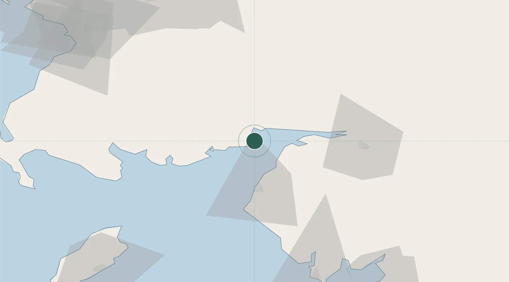
Location
Nearby Logistics Neighbours
Cities
- 1Southerness6 km
- 2Kippford15 km
- 3Dumfries15 km
- 4Cleator Moor19 km
- 5Annan21 km
Ports
- 1Silloth12 km
- 2Workington39 km
- 3Ramsey84 km
- 4Ayr91 km
- 5Barrow In Furness92 km
Airports
- 1Carlisle Lake District Airport49 km
- 2RAF Spadeadam67 km
- 3Barrow Walney Island Airport90 km
- 4Glasgow Prestwick Airport91 km
- 5Isle of Man Airport115 km
Trade Zones
DatabookThe Record of Consolidated Knowledge
United Kingdom beyond logistics?