UN/LOCODE hub · United Kingdom
GBXCL
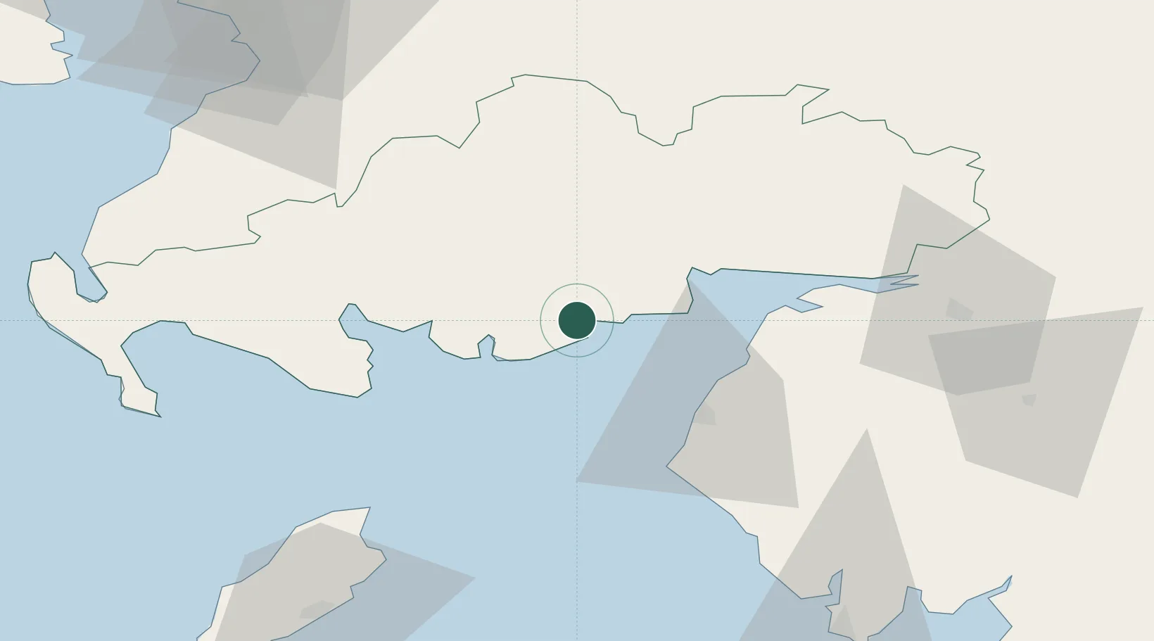
Cleator Moor
54.8667°, -3.8500°
6,936
Population
1
Transport functions
Transport Functions
Multimodal
Hub Profile
Place type
Populated place
Region
England
Population
6,936
Time zone
Europe/London
Elevation
92 m
Location
Nearby Logistics Neighbours
Cities
- 1Kippford4 km
- 2Kirkcudbright13 km
- 3Southerness16 km
- 4Carsethorn19 km
- 5Dumfries26 km
Ports
- 1Silloth29 km
- 2Workington36 km
- 3Ramsey70 km
- 4Stranraer76 km
- 5Ayr83 km
Airports
- 1Carlisle Lake District Airport67 km
- 2Glasgow Prestwick Airport84 km
- 3RAF Spadeadam86 km
- 4Barrow Walney Island Airport90 km
- 5Isle of Man Airport101 km
Trade Zones
DatabookThe Record of Consolidated Knowledge
United Kingdom beyond logistics?