Transport Functions
Port
Road
Hub Profile
Place type
Populated place
Region
Scotland
Time zone
Europe/London
Elevation
10 m
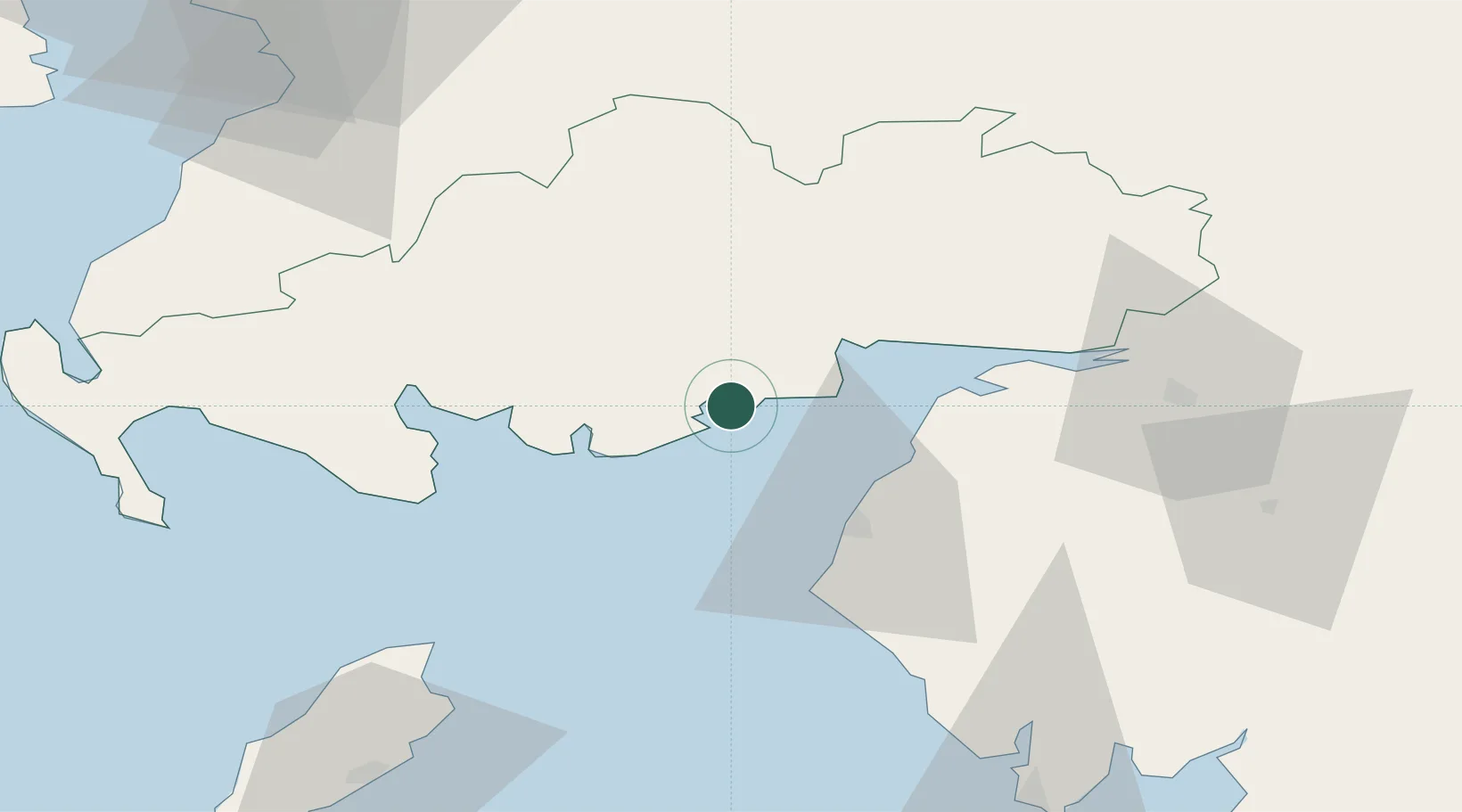
Location
Nearby Logistics Neighbours
Cities
- 1Cleator Moor4 km
- 2Southerness12 km
- 3Carsethorn15 km
- 4Kirkcudbright18 km
- 5Dumfries24 km
Ports
- 1Silloth25 km
- 2Workington35 km
- 3Ramsey72 km
- 4Stranraer80 km
- 5Ayr86 km
Airports
- 1Carlisle Lake District Airport63 km
- 2RAF Spadeadam81 km
- 3Glasgow Prestwick Airport87 km
- 4Barrow Walney Island Airport89 km
- 5Isle of Man Airport103 km
Trade Zones
DatabookThe Record of Consolidated Knowledge
United Kingdom beyond logistics?