Large airport · Isle of Man
Isle of Man AirportEGNS
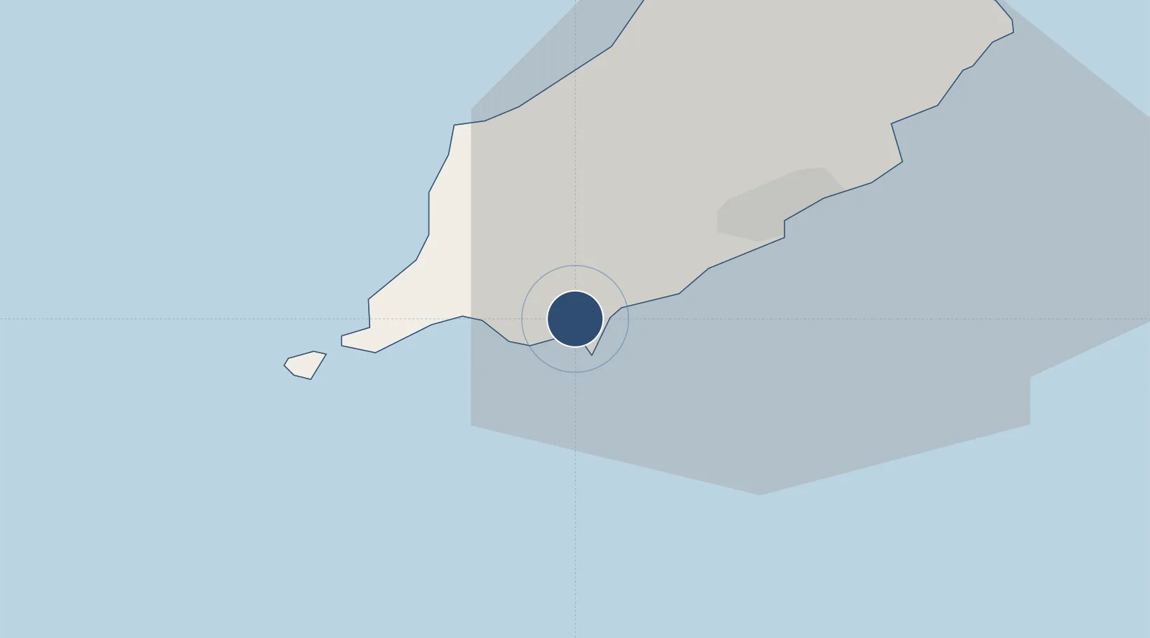
54.0831°, -4.6239°
6,923 ft
Longest runway
2
Runways
52 ft
Elevation
Runway & Layout

Radio Frequencies
ATIS
123.875 MHz
Ronaldsway Information
TWR
119.005 MHz
Ronaldsway Tower
APP
135.905 MHz
Ronaldsway Approach
RAD
120.85 MHz
Ronaldsway Radar
RAD
125.3 MHz
Ronaldsway Radar
RAD
135.905 MHz
Ronaldsway Radar
Navaids
CAR NDB Carnane 367 kHz
IOM VOR-DME Isle Of Man 112.20 MHz
Runways · 2
| Runway | Dimensions | Surface | True heading | Lit |
|---|---|---|---|---|
| 08/26 | 6,923 × 151ft | Asphalt | 078° | ✓ |
| 03/21 | 3,934 × 151ft | Asphalt | 028° | ✓ |
Airport Specifications
IATA code
IOM
ICAO code
EGNS
Airport class
Large airport
Scheduled service
Yes
Runway surface
Asphalt
Served city
Castletown
Location
Nearby Logistics Neighbours
Airports
- 1Barrow Walney Island Airport89 km
- 2Anglesey Airport93 km
- 3George Best Belfast City Airport100 km
- 4Blackpool Airport110 km
- 5Warton Aerodrome120 km
Cities
- 1Castletown2 km
- 2Santon5 km
- 3Port Saint Mary7 km
- 4Port Saint Mary7 km
- 5Port Erin9 km
Ports
- 1Douglas13 km
- 2Ramsey31 km
- 3Ardglass68 km
- 4Workington84 km
- 5Holyhead85 km
Trade Zones
DatabookThe Record of Consolidated Knowledge
Isle of Man beyond logistics?