UN/LOCODE hub · United Kingdom
GBTRS

South Harris

58.0167°, -6.3500°
1
Transport functions

Transport Functions

Port
UN/LOCODE

Hub Profile

Region
ELS
GeoNames

Location

Location of GBTRS
Natural Earth 10m (public domain) · ELS · GBTRS · 58.02, -6.35GoogleOSMYandex

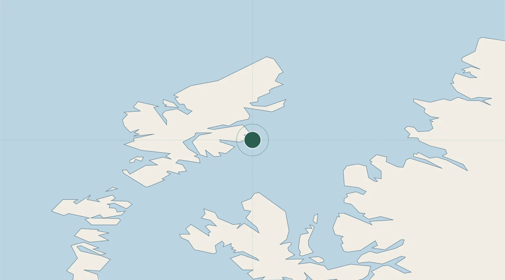
Nearby Logistics Neighbours

Cities
  1. 1Loch Torridon7 km
  2. 2North Lochs12 km
  3. 3Lochs12 km
  4. 4South Lochs12 km
  5. 5Eishken19 km
Nearest neighbours — logibook spatial index (haversine) over the source coordinates
Ports
  1. 1Stornoway Harbor19 km
  2. 2Tarbert30 km
  3. 3Uig48 km
  4. 4Aultbea50 km
  5. 5Gairloch52 km
Nearest neighbours — logibook spatial index (haversine) over the source coordinates
Airports
  1. 1Stornoway Airport22 km
  2. 2Benbecula Airport85 km
  3. 3Barra Airport128 km
  4. 4Inverness Airport146 km
  5. 5Coll Airport158 km
Nearest neighbours — logibook spatial index (haversine) over the source coordinates
Trade Zones
  1. 1Prestwick Airport Free Zone298 km
  2. 2Carlisle Kingmoor Park Enterprise Zone401 km
  3. 3North Eastern Enterprise Zone446 km
  4. 4Isle of Man Free Zone and Business Park449 km
  5. 5Tees Valley Enterprise Zone496 km
Nearest neighbours — logibook spatial index (haversine) over the source coordinates
DatabookThe Record of Consolidated Knowledge
United Kingdom beyond logistics?
Browse databook

All Sources

LocationsUN/LOCODE
UN/LOCODE — free
Portsthe NGA World Port Index
Public domain (US gov)
AirportsOurAirports
Public domain
Trade Zonesthe World Bank SEZ database
CC BY 4.0
Trade ZonesOpen Zone Map
CC BY
← United Kingdom locations