UN/LOCODE hub · United Kingdom
GBSCB
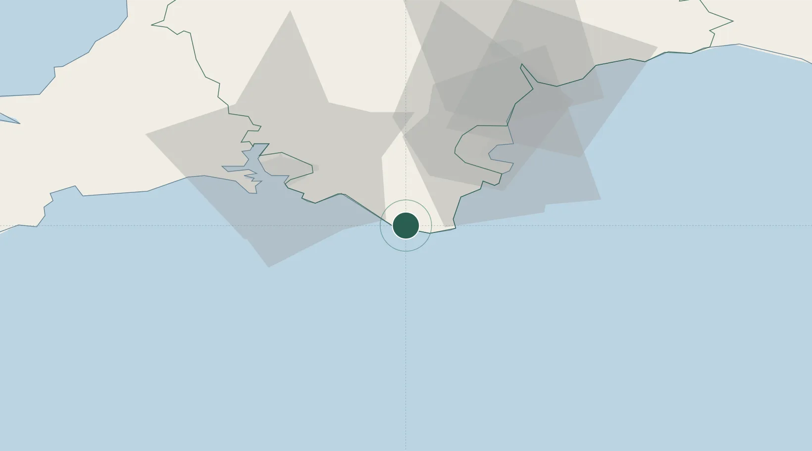
Salcombe
50.2333°, -3.7833°
1,909
Population
2
Transport functions
Transport Functions
Port
Road
Hub Profile
Place type
Populated place
Region
England
Population
1,909
Time zone
Europe/London
Elevation
18 m
Location
Nearby Logistics Neighbours
Cities
- 1Bolt Head2 km
- 2Hope Cove5 km
- 3Kingsbridge6 km
- 4Goveton6 km
- 5Halwell14 km
Ports
- 1Dartmouth Harbour18 km
- 2Brixham Harbour27 km
- 3Plymouth30 km
- 4Torquay Harbour31 km
- 5Teignmouth Harbour41 km
Airports
- 1Exeter International Airport62 km
- 2Cornwall Airport Newquay89 km
- 3Royal Marines Base Chivenor98 km
- 4Hartland Point Heliport102 km
- 5RNAS Culdrose106 km
Trade Zones
DatabookThe Record of Consolidated Knowledge
United Kingdom beyond logistics?