UN/LOCODE hub · United Kingdom
GBKIB
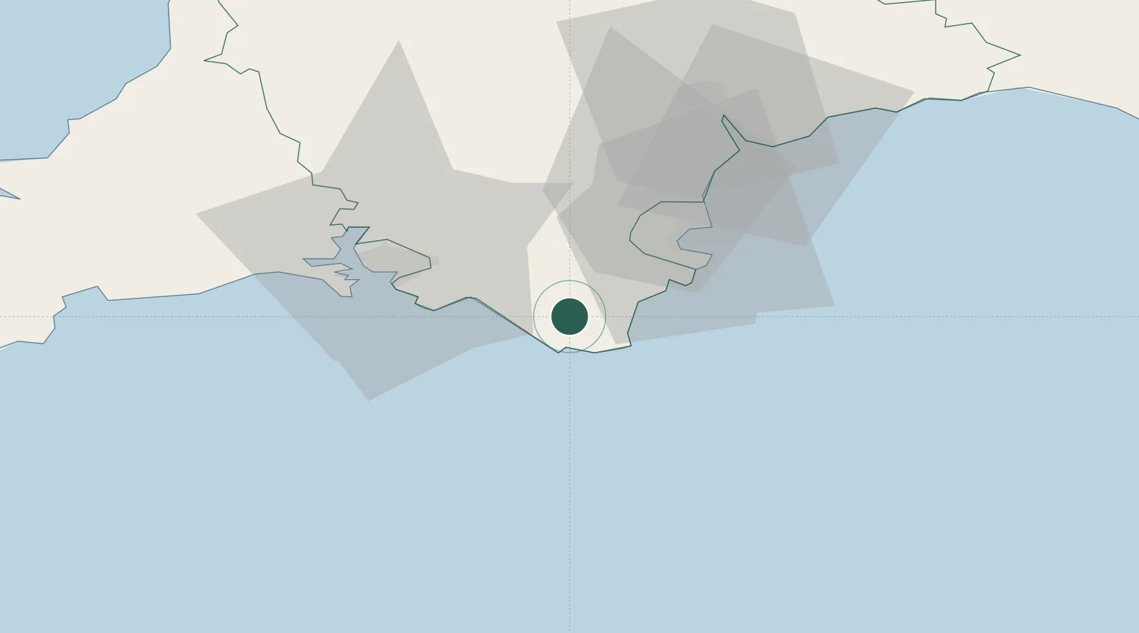
Kingsbridge
50.2833°, -3.7667°
6,116
Population
2
Transport functions
Transport Functions
Port
Road
Hub Profile
Place type
Populated place
Region
England
Population
6,116
Time zone
Europe/London
Elevation
7 m
Location
Nearby Logistics Neighbours
Ports
- 1Dartmouth Harbour13 km
- 2Brixham Harbour22 km
- 3Torquay Harbour26 km
- 4Plymouth29 km
- 5Teignmouth Harbour35 km
Airports
- 1Exeter International Airport56 km
- 2Cornwall Airport Newquay89 km
- 3Royal Marines Base Chivenor93 km
- 4Hartland Point Heliport97 km
- 5RNAS Culdrose108 km
Trade Zones
DatabookThe Record of Consolidated Knowledge
United Kingdom beyond logistics?