Medium airport · United Kingdom

Royal Marines Base ChivenorEGDC
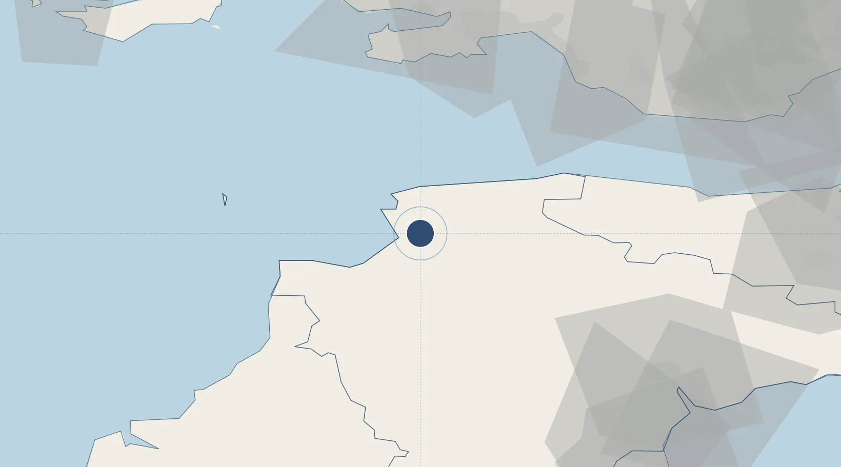
51.0872°, -4.1503°
6,014 ft
Longest runway
1
Runways
27 ft
Elevation

Runway & Layout

Royal Marines Base Chivenor runway & taxiway layout
Runway & taxiway layout — OpenStreetMap (ODbL) / OurAirports

Radio Frequencies

A/G
130.2 MHz
RDO
OurAirports

Runways · 1

RunwayDimensions SurfaceTrue headingLit
10/28 6,014 × 151ft Asphalt 090°
OurAirports

Airport Specifications

ICAO code
EGDC
OurAirports
Airport class
Medium airport
OurAirports
Scheduled service
No
OurAirports
Runway surface
Asphalt
OurAirports
Served city
Chivenor
OurAirports

Location

Location of EGDC
Natural Earth 10m (public domain) · Devon · EGDC · 51.09, -4.15GoogleOSMYandex

Nearby Logistics Neighbours

Airports
  1. 1Hartland Point Heliport27 km
  2. 2Lundy Island Helipad37 km
  3. 3Swansea Airport57 km
  4. 4MOD St Athan61 km
  5. 5Exeter International Airport65 km
Nearest neighbours — logibook spatial index (haversine) over the source coordinates
Cities
  1. 1Wrafton4 km
  2. 2Instow4 km
  3. 3Appledore5 km
  4. 4Barnstaple6 km
  5. 5Moretonhampstead8 km
Nearest neighbours — logibook spatial index (haversine) over the source coordinates
Ports
  1. 1Bideford7 km
  2. 2Watchet Harbor58 km
  3. 3Port Talbot60 km
  4. 4Swansea61 km
  5. 5Neath65 km
Nearest neighbours — logibook spatial index (haversine) over the source coordinates
Trade Zones
  1. 1Exeter & East Devon Enterprise Zone63 km
  2. 2Heart of the South West Enterprise Zone77 km
  3. 3Oceansgate Plymouth80 km
  4. 4Cornwall Newquay Aerohub Enterprise Zone94 km
  5. 5Bristol Temple Quarter Enterprise Zone117 km
Nearest neighbours — logibook spatial index (haversine) over the source coordinates
DatabookThe Record of Consolidated Knowledge
United Kingdom beyond logistics?
Browse databook

All Sources

AirportsOurAirports
Public domain
Portsthe NGA World Port Index
Public domain (US gov)
LocationsUN/LOCODE
UN/LOCODE — free
Trade Zonesthe World Bank SEZ database
CC BY 4.0
Trade ZonesOpen Zone Map
CC BY
InfrastructureOpenStreetMap
ODbL 1.0
← United Kingdom airports