Channel & Berth Profile
Pilotage, Tugs & Services
Pilotage compulsoryYES
Pilotage availableYES
Pilotage advisableYES
Local assistanceYES
Tug assistanceYES
Salvage tugsNO
Potable waterYES
Diesel bunkersYES
MedicalYES
Facilities & Capabilities
Container—
Ro-Ro—
Liquid bulk—
Dry bulk—
Oil terminal—
Break bulk—
Dry dock—
RepairsNO
BunkeringYES
Rail linkYES
Dangerous cargo—
ISPS security—
Harbour Specifications
Harbour size
Very Small
Harbour type
River (Natural)
Shelter
Fair
Water body
English Channel; North Atlantic Ocean
Tidal range
4 m
Overhead limit
Yes
Pilotage
Yes
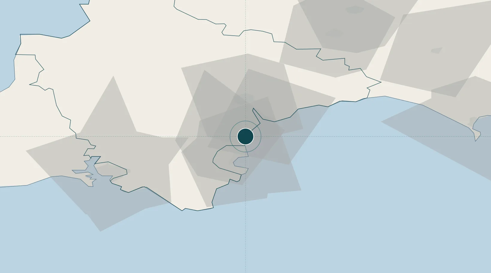
Location
Nearby Logistics Neighbours
Ports
- 1Torquay Harbour10 km
- 2Brixham Harbour17 km
- 3Dartmouth Harbour24 km
- 4Plymouth50 km
- 5Bridport Harbour55 km
Cities
- 1Bishopsteignton2 km
- 2Cockwood7 km
- 3Exmouth8 km
- 4Torquay11 km
- 5Torbay/Paignton12 km
Airports
Trade Zones
DatabookThe Record of Consolidated Knowledge
United Kingdom beyond logistics?