Channel & Berth Profile
Pilotage, Tugs & Services
Pilotage compulsoryYES
Pilotage availableYES
Pilotage advisableYES
Tug assistanceYES
Diesel bunkersYES
MedicalYES
Garbage disposalYES
Facilities & Capabilities
Container—
Ro-Ro—
Liquid bulk—
Dry bulk—
Oil terminal—
Break bulk—
Dry dockNO
RepairsNO
BunkeringYES
Rail linkYES
Dangerous cargo—
ISPS security—
Harbour Specifications
Harbour size
Medium
Harbour type
Coastal (Natural)
Shelter
Excellent
Water body
English Channel; North Atlantic Ocean
Tidal range
5 m
Overhead limit
Yes
Pilotage
Yes
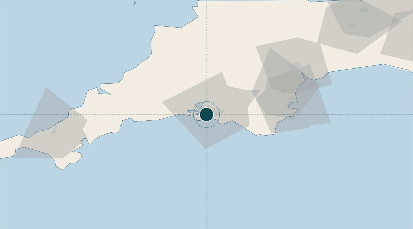
Location
Nearby Logistics Neighbours
Ports
- 1Fowey Harbour35 km
- 2Dartmouth Harbour38 km
- 3Par39 km
- 4Charlestown43 km
- 5Brixham Harbour45 km
Cities
- 1Devonport2 km
- 2Torpoint5 km
- 3Walkhampton6 km
- 4Plympton8 km
- 5Newton Ferrers10 km
Airports
- 1Cornwall Airport Newquay61 km
- 2Exeter International Airport66 km
- 3Hartland Point Heliport77 km
- 4Royal Marines Base Chivenor80 km
- 5RNAS Culdrose85 km
Trade Zones
DatabookThe Record of Consolidated Knowledge
United Kingdom beyond logistics?