Medium airport · United Kingdom

Exeter International AirportEGTE
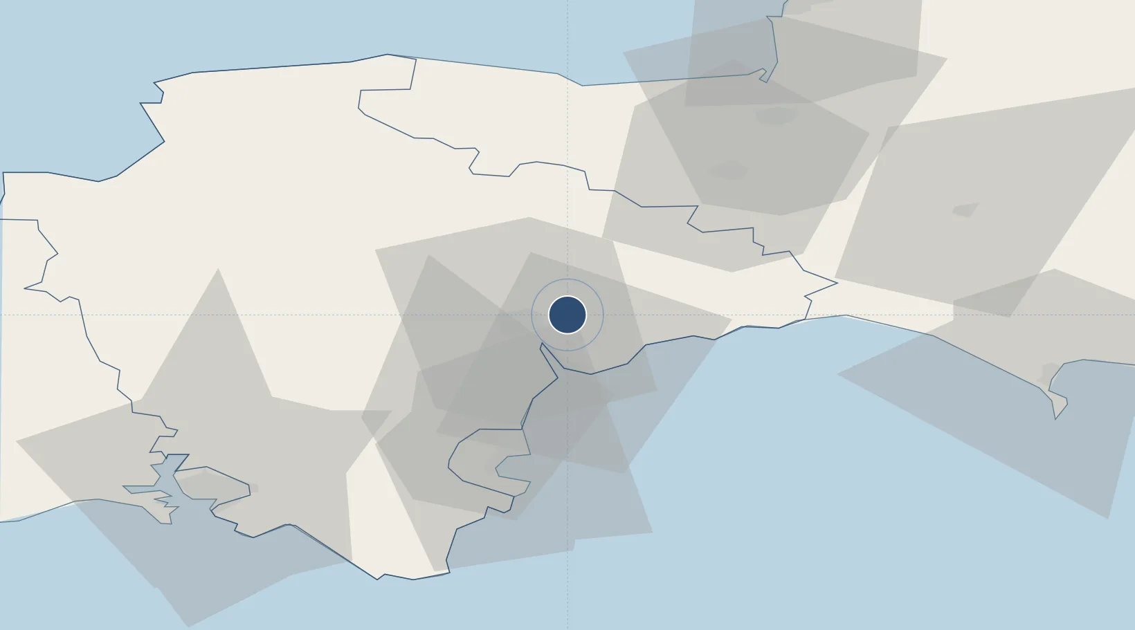
50.7343°, -3.4140°
6,811 ft
Longest runway
1
Runways
102 ft
Elevation

Runway & Layout

Exeter International Airport runway & taxiway layout
Runway & taxiway layout — OpenStreetMap (ODbL) / OurAirports

Radio Frequencies

ATIS
119.325 MHz
TWR
119.8 MHz
APP
128.975 MHz
Radar
123.57 MHz
EXETER Radar
OurAirports

Runways · 1

RunwayDimensions SurfaceTrue headingLit
08/26 6,811 × 148ft Asphalt 076°
OurAirports

Airport Specifications

IATA code
EXT
OurAirports
ICAO code
EGTE
OurAirports
Airport class
Medium airport
OurAirports
Scheduled service
Yes
OurAirports
Runway surface
Asphalt
OurAirports
Served city
Exeter, Devon
OurAirports

Location

Location of EGTE
Natural Earth 10m (public domain) · Devon · EGTE · 50.73, -3.41GoogleOSMYandex

Nearby Logistics Neighbours

Airports
  1. 1RNAS Yeovilton62 km
  2. 2Royal Marines Base Chivenor65 km
  3. 3Cardiff International Airport74 km
  4. 4MOD St Athan75 km
  5. 5Hartland Point Heliport84 km
Nearest neighbours — logibook spatial index (haversine) over the source coordinates
Cities
  1. 1Pinhoe4 km
  2. 2Whimple6 km
  3. 3Topsham6 km
  4. 4Exeter9 km
  5. 5Budleigh Salterton13 km
Nearest neighbours — logibook spatial index (haversine) over the source coordinates
Ports
  1. 1Teignmouth Harbour21 km
  2. 2Torquay Harbour31 km
  3. 3Brixham Harbour38 km
  4. 4Dartmouth Harbour45 km
  5. 5Bridport Harbour46 km
Nearest neighbours — logibook spatial index (haversine) over the source coordinates
Trade Zones
  1. 1Exeter & East Devon Enterprise Zone3 km
  2. 2Heart of the South West Enterprise Zone61 km
  3. 3Oceansgate Plymouth68 km
  4. 4Dorset Innovation Park82 km
  5. 5Bristol Temple Quarter Enterprise Zone99 km
Nearest neighbours — logibook spatial index (haversine) over the source coordinates
DatabookThe Record of Consolidated Knowledge
United Kingdom beyond logistics?
Browse databook

All Sources

AirportsOurAirports
Public domain
Portsthe NGA World Port Index
Public domain (US gov)
LocationsUN/LOCODE
UN/LOCODE — free
Trade Zonesthe World Bank SEZ database
CC BY 4.0
Trade ZonesOpen Zone Map
CC BY
InfrastructureOpenStreetMap
ODbL 1.0
← United Kingdom airports