Medium airport · United Kingdom

Cornwall Airport NewquayEGHQ
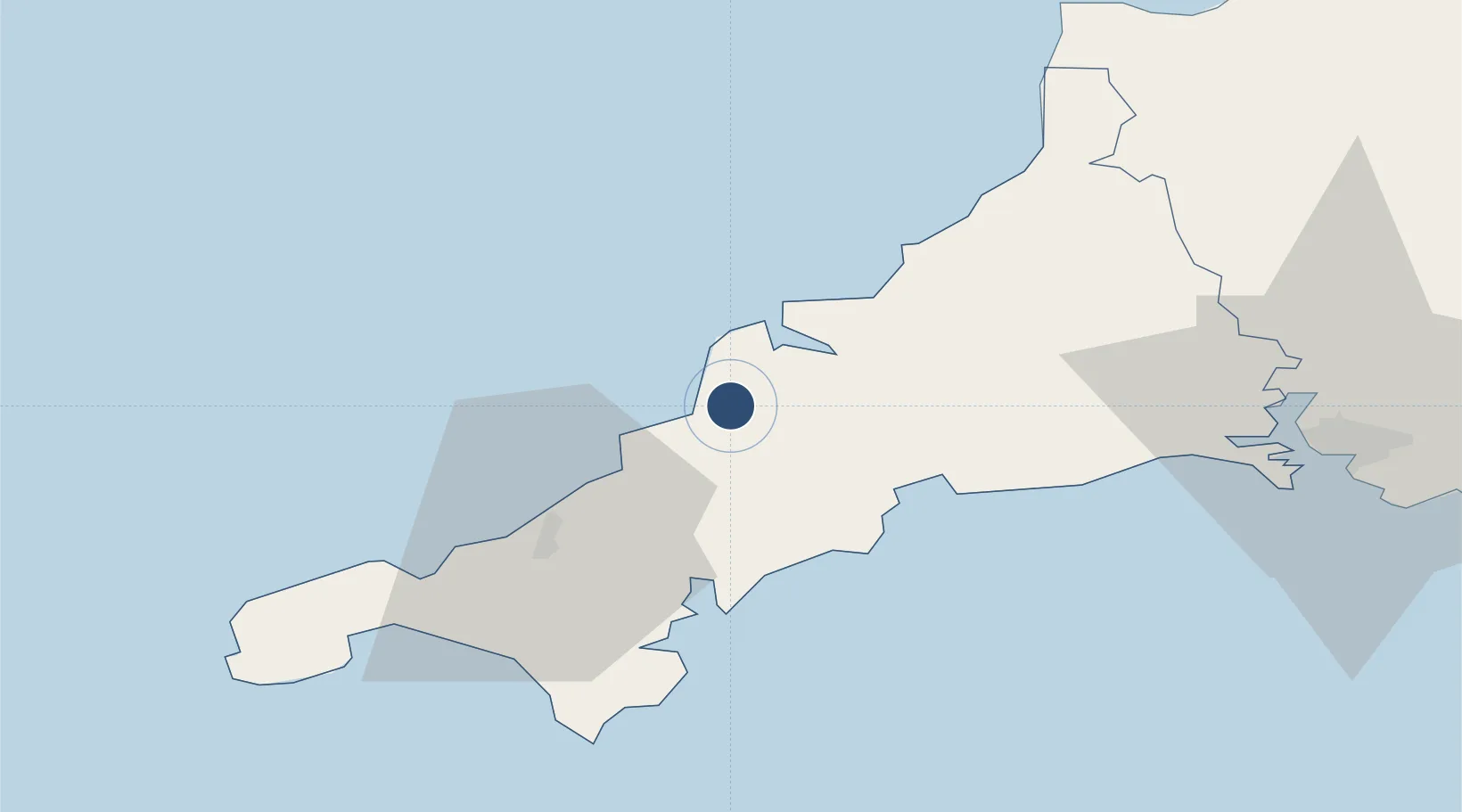
50.4406°, -4.9954°
9,003 ft
Longest runway
1
Runways
390 ft
Elevation

Runway & Layout

Cornwall Airport Newquay runway & taxiway layout
Runway & taxiway layout — OpenStreetMap (ODbL) / OurAirports

Radio Frequencies

ATIS
127.4 MHz
TWR
134.375 MHz
GND
121.95 MHz
APP
133.4 MHz
DIR
125.55 MHz
DIRECTOR
OPS
131.8 MHz
RADAR
127.925 MHz
ZONE ?
OurAirports

Navaids

LND VOR-DME Lands End 114.20 MHz
SM NDB St Mawgan 357 kHz
SMG TACAN St Mawgan 112.60 MHz
OurAirports

Runways · 1

RunwayDimensions SurfaceTrue headingLit
12/30 9,003 × 148ft Asphalt 121°
OurAirports

Airport Specifications

IATA code
NQY
OurAirports
ICAO code
EGHQ
OurAirports
Airport class
Medium airport
OurAirports
Scheduled service
Yes
OurAirports
Runway surface
Asphalt
OurAirports
Served city
Newquay
OurAirports

Location

Location of EGHQ
Natural Earth 10m (public domain) · Cornwall · EGHQ · 50.44, -5.00GoogleOSMYandex

Nearby Logistics Neighbours

Airports
  1. 1RNAS Culdrose44 km
  2. 2Penzance Heliport51 km
  3. 3Land's End Airport61 km
  4. 4Hartland Point Heliport73 km
  5. 5Lundy Island Helipad84 km
Nearest neighbours — logibook spatial index (haversine) over the source coordinates
Cities
  1. 1Saint Columb Major5 km
  2. 2Summercourt10 km
  3. 3Rejerrah12 km
  4. 4Rock12 km
  5. 5Irby14 km
Nearest neighbours — logibook spatial index (haversine) over the source coordinates
Ports
  1. 1Padstow13 km
  2. 2Charlestown21 km
  3. 3Par23 km
  4. 4Mevagissey25 km
  5. 5Fowey Harbour28 km
Nearest neighbours — logibook spatial index (haversine) over the source coordinates
Trade Zones
  1. 1Cornwall Newquay Aerohub Enterprise Zone1 km
  2. 2Oceansgate Plymouth58 km
  3. 3Heart of the South West Enterprise Zone64 km
  4. 4Exeter & East Devon Enterprise Zone113 km
  5. 5Dorset Innovation Park195 km
Nearest neighbours — logibook spatial index (haversine) over the source coordinates
DatabookThe Record of Consolidated Knowledge
United Kingdom beyond logistics?
Browse databook

All Sources

AirportsOurAirports
Public domain
Portsthe NGA World Port Index
Public domain (US gov)
LocationsUN/LOCODE
UN/LOCODE — free
Trade Zonesthe World Bank SEZ database
CC BY 4.0
Trade ZonesOpen Zone Map
CC BY
InfrastructureOpenStreetMap
ODbL 1.0
← United Kingdom airports