Transport Functions
Road
Multimodal
Hub Profile
Place type
Populated place
Region
England
Time zone
Europe/London
Elevation
76 m
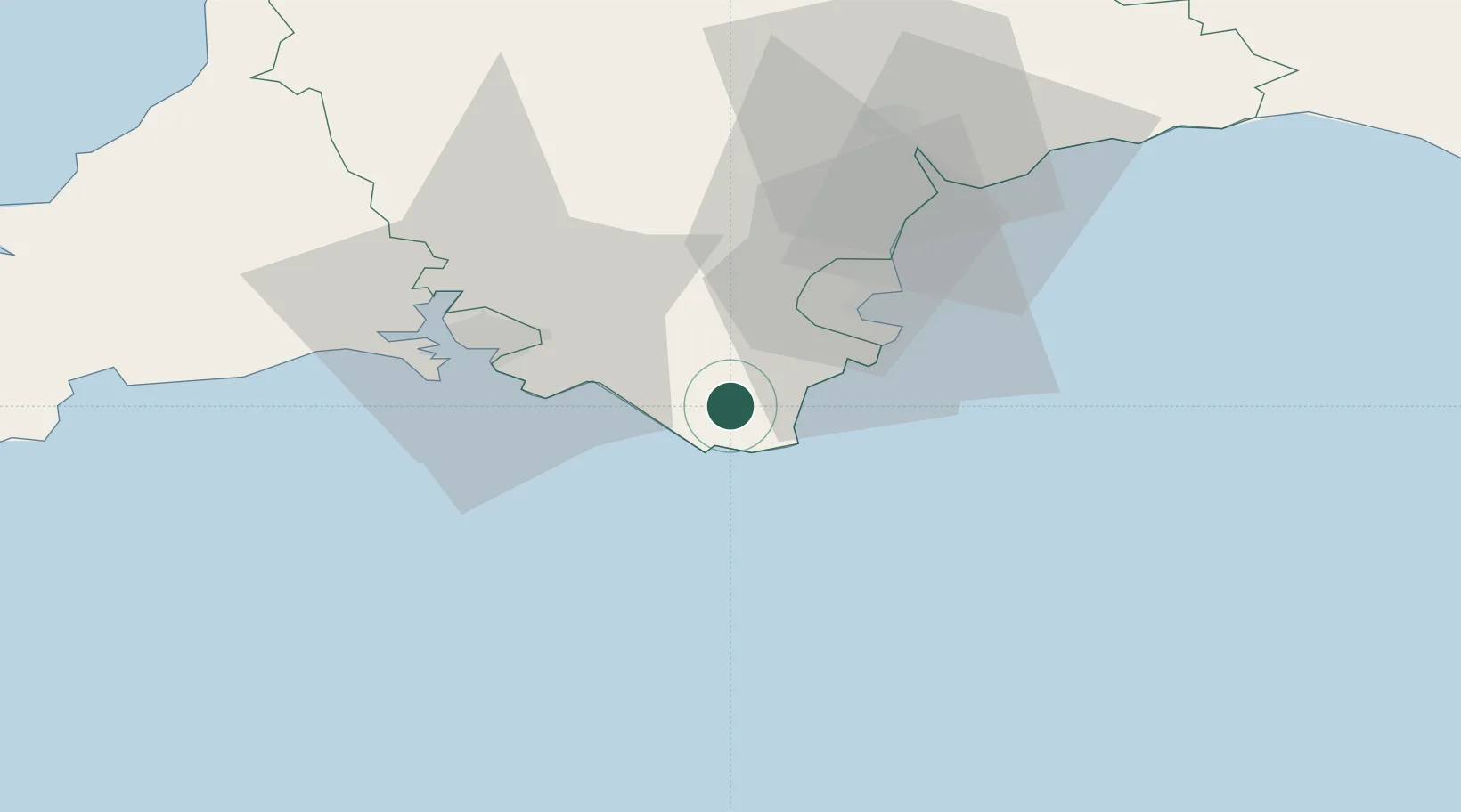
Location
Nearby Logistics Neighbours
Cities
- 1Kingsbridge1 km
- 2Salcombe6 km
- 3Halwell8 km
- 4Bolt Head8 km
- 5Hope Cove9 km
Ports
- 1Dartmouth Harbour12 km
- 2Brixham Harbour21 km
- 3Torquay Harbour26 km
- 4Plymouth30 km
- 5Teignmouth Harbour35 km
Airports
- 1Exeter International Airport56 km
- 2Cornwall Airport Newquay90 km
- 3Royal Marines Base Chivenor94 km
- 4Hartland Point Heliport98 km
- 5RNAS Culdrose109 km
Trade Zones
DatabookThe Record of Consolidated Knowledge
United Kingdom beyond logistics?