Channel & Berth Profile
Pilotage, Tugs & Services
Pilotage compulsoryYES
Tug assistanceYES
Salvage tugsNO
Potable waterYES
Diesel bunkersYES
MedicalYES
Garbage disposalYES
Facilities & Capabilities
Container—
Ro-Ro—
Liquid bulk—
Dry bulk—
Oil terminal—
Break bulk—
Dry dockNO
RepairsNO
BunkeringYES
Rail linkYES
Dangerous cargo—
ISPS security—
Harbour Specifications
Harbour size
Small
Harbour type
River (Natural)
Shelter
Excellent
Water body
English Channel; North Atlantic Ocean
Tidal range
4 m
Overhead limit
No
Pilotage
Yes
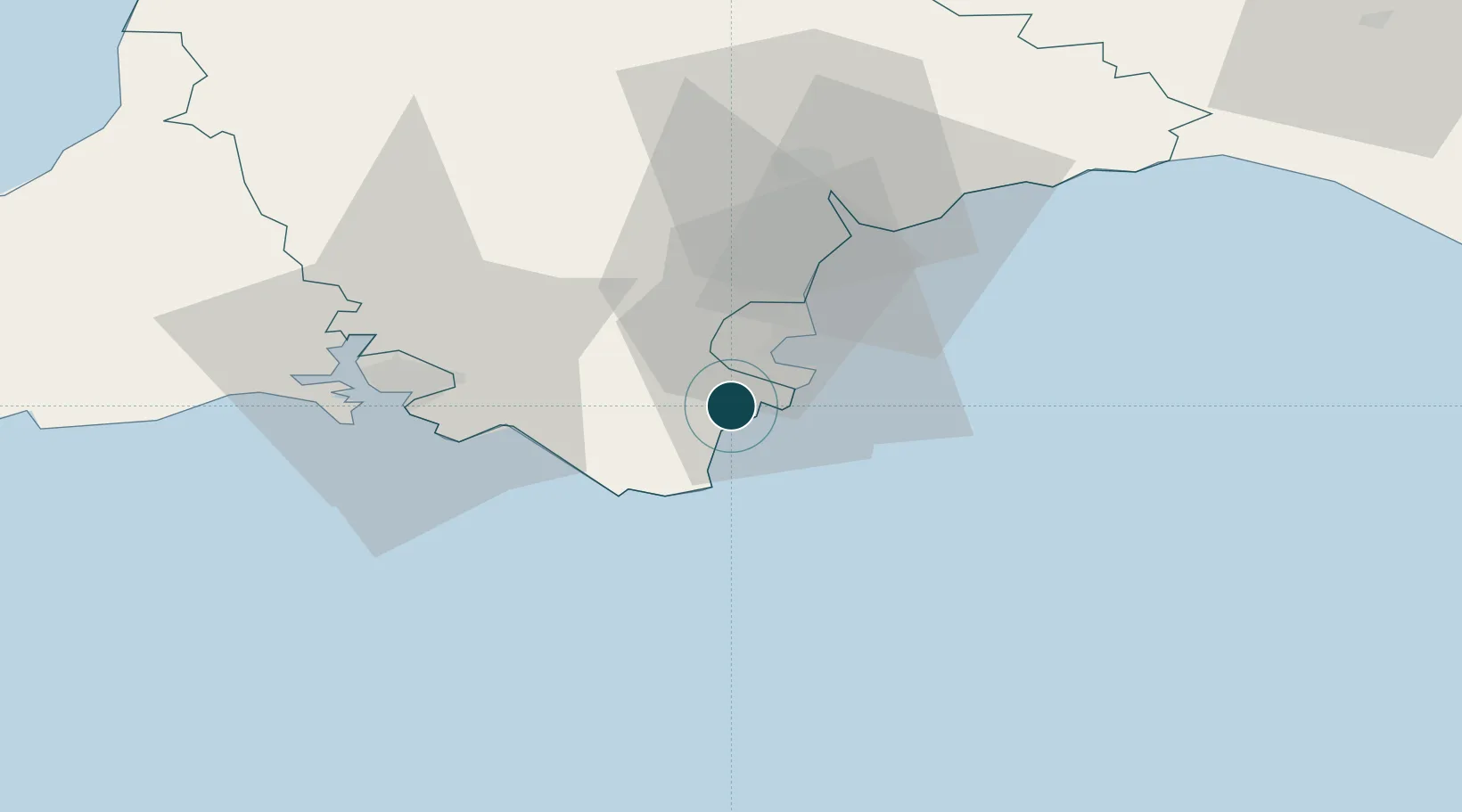
Location
Nearby Logistics Neighbours
Ports
- 1Brixham Harbour9 km
- 2Torquay Harbour14 km
- 3Teignmouth Harbour24 km
- 4Plymouth38 km
- 5Fowey Harbour72 km
Cities
- 1Strete4 km
- 2Beesands4 km
- 3Kingswear4 km
- 4River Dart5 km
- 5Halwell7 km
Airports
- 1Exeter International Airport45 km
- 2Royal Marines Base Chivenor90 km
- 3Hartland Point Heliport98 km
- 4Cornwall Airport Newquay98 km
- 5RNAS Yeovilton101 km
Trade Zones
DatabookThe Record of Consolidated Knowledge
United Kingdom beyond logistics?