Transport Functions
Port
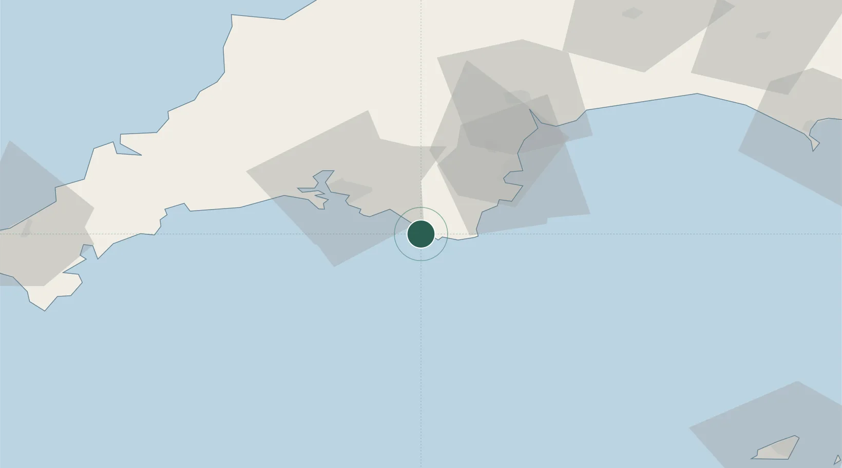
Hub Profile
Place type
Populated place
Region
England
Time zone
Europe/London
Elevation
13 m
Location
Nearby Logistics Neighbours
Cities
- 1Salcombe5 km
- 2Bolt Head5 km
- 3Kingsbridge8 km
- 4Goveton9 km
- 5Newton Ferrers16 km
Ports
- 1Dartmouth Harbour21 km
- 2Plymouth26 km
- 3Brixham Harbour30 km
- 4Torquay Harbour34 km
- 5Teignmouth Harbour43 km
Airports
- 1Exeter International Airport64 km
- 2Cornwall Airport Newquay85 km
- 3Royal Marines Base Chivenor97 km
- 4Hartland Point Heliport99 km
- 5RNAS Culdrose102 km
Trade Zones
DatabookThe Record of Consolidated Knowledge
United Kingdom beyond logistics?