Medium airport · United Kingdom
RNAS CuldroseEGDR
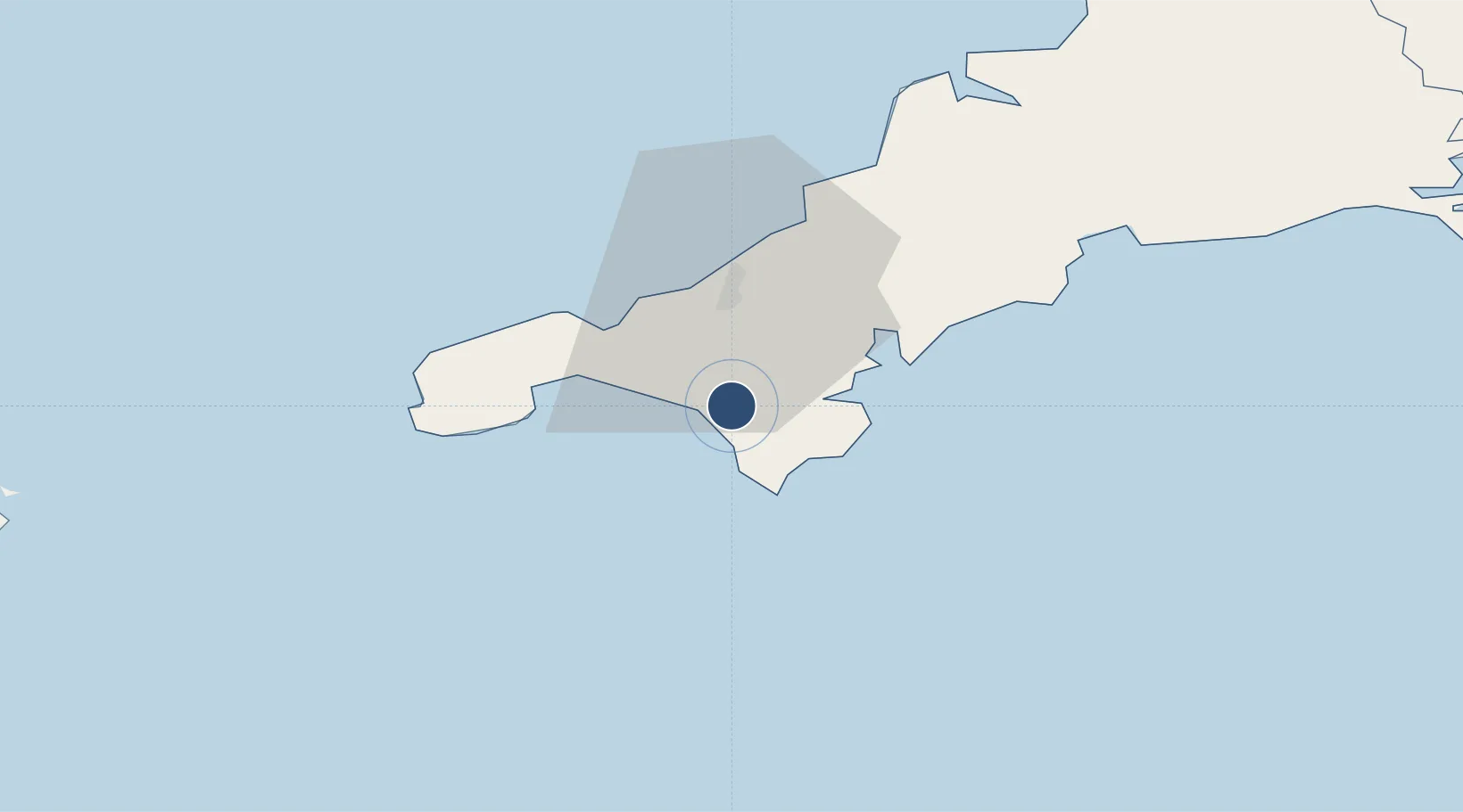
50.0861°, -5.2557°
6,006 ft
Longest runway
3
Runways
267 ft
Elevation
Runway & Layout

Radio Frequencies
ATIS
23.185 MHz
TWR
122.1 MHz
GND
122.1 MHz
APP
134.05 MHz
OPS
572.5 MHz
Runways · 3
| Runway | Dimensions | Surface | True heading | Lit |
|---|---|---|---|---|
| 11/29 | 6,006 × 151ft | Asphalt | 113° | ✓ |
| 18/36 | 3,448 × 151ft | Asphalt | 178° | ✓ |
| 06/24 | 3,372 × 151ft | Asphalt | 063° | ✓ |
Airport Specifications
ICAO code
EGDR
Airport class
Medium airport
Scheduled service
No
Runway surface
Asphalt
Served city
Helston
Location
Nearby Logistics Neighbours
Airports
- 1Penzance Heliport19 km
- 2Land's End Airport30 km
- 3Cornwall Airport Newquay44 km
- 4St. Mary's Airport77 km
- 5Tresco Heliport78 km
Cities
- 1Gweek4 km
- 2Porthleven4 km
- 3Breage6 km
- 4Mullion6 km
- 5Constantine7 km
Ports
- 1Falmouth Harbour15 km
- 2Hayle16 km
- 3Penzance20 km
- 4Newlyn21 km
- 5Mevagissey39 km
Trade Zones
DatabookThe Record of Consolidated Knowledge
United Kingdom beyond logistics?