Transport Functions
Road
Multimodal
Hub Profile
Place type
Populated place
Region
England
Time zone
Europe/London
Elevation
129 m
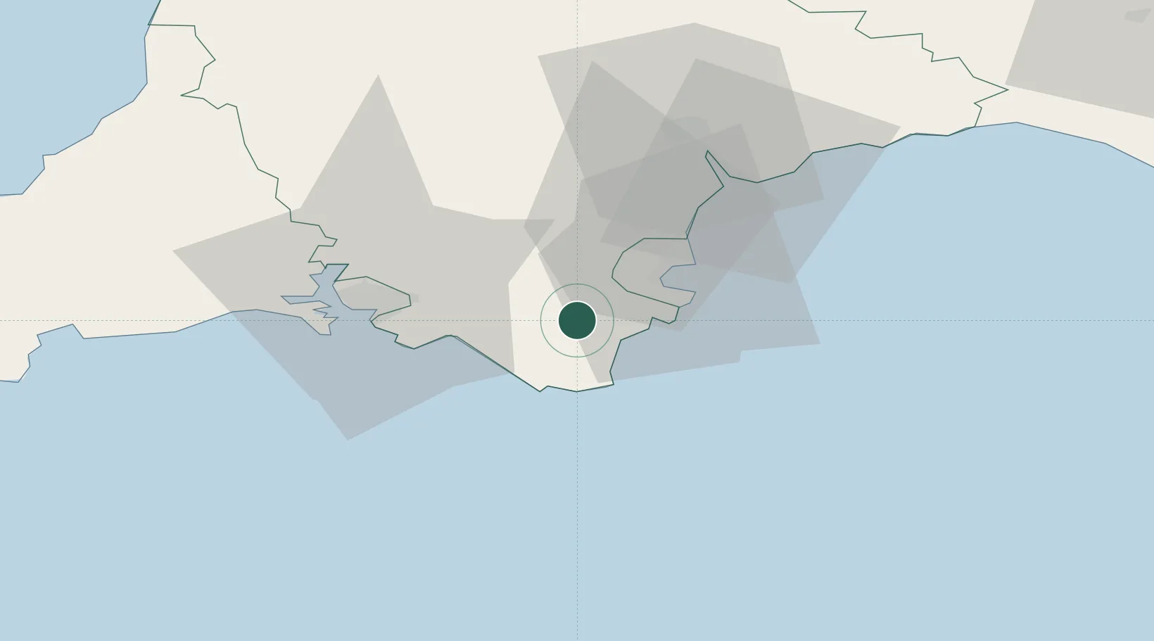
Location
Nearby Logistics Neighbours
Cities
- 1Strete7 km
- 2Goveton8 km
- 3Kingsbridge8 km
- 4Dartmouth10 km
- 5Beesands11 km
Ports
- 1Dartmouth Harbour7 km
- 2Brixham Harbour15 km
- 3Torquay Harbour18 km
- 4Teignmouth Harbour27 km
- 5Plymouth31 km
Airports
- 1Exeter International Airport48 km
- 2Royal Marines Base Chivenor88 km
- 3Cornwall Airport Newquay91 km
- 4Hartland Point Heliport93 km
- 5RNAS Yeovilton106 km
Trade Zones
DatabookThe Record of Consolidated Knowledge
United Kingdom beyond logistics?