Runway & Layout

Airport Specifications
Airport class
Heliport
Scheduled service
Yes
Served city
Bideford, Devon
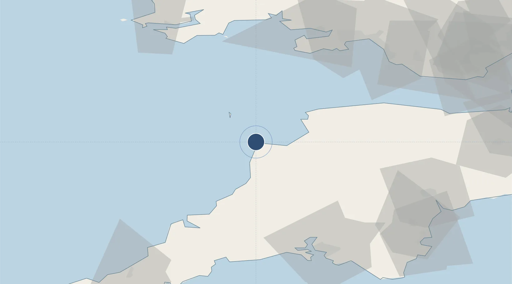
Location
Nearby Logistics Neighbours
Airports
- 1Lundy Island Helipad19 km
- 2Royal Marines Base Chivenor27 km
- 3Swansea Airport72 km
- 4Cornwall Airport Newquay73 km
- 5Exeter International Airport84 km
Cities
- 1Buck's Cross9 km
- 2Chillington9 km
- 3Clovelly9 km
- 4Moretonhampstead19 km
- 5Bude21 km
Ports
- 1Bideford22 km
- 2Padstow60 km
- 3Par76 km
- 4Fowey Harbour77 km
- 5Plymouth77 km
DatabookThe Record of Consolidated Knowledge
United Kingdom beyond logistics?