Channel & Berth Profile
Pilotage, Tugs & Services
Pilotage compulsoryYES
Pilotage availableYES
Tug assistanceYES
Potable waterYES
Diesel bunkersYES
MedicalYES
Garbage disposalYES
Facilities & Capabilities
Container—
Ro-Ro—
Liquid bulk—
Dry bulk—
Oil terminal—
Break bulk—
Dry dock—
RepairsNO
BunkeringYES
Rail linkYES
Dangerous cargo—
ISPS security—
Harbour Specifications
Harbour size
Very Small
Harbour type
Coastal (Breakwater)
Shelter
Good
Water body
English Channel; North Atlantic Ocean
Tidal range
5 m
Pilotage
Yes
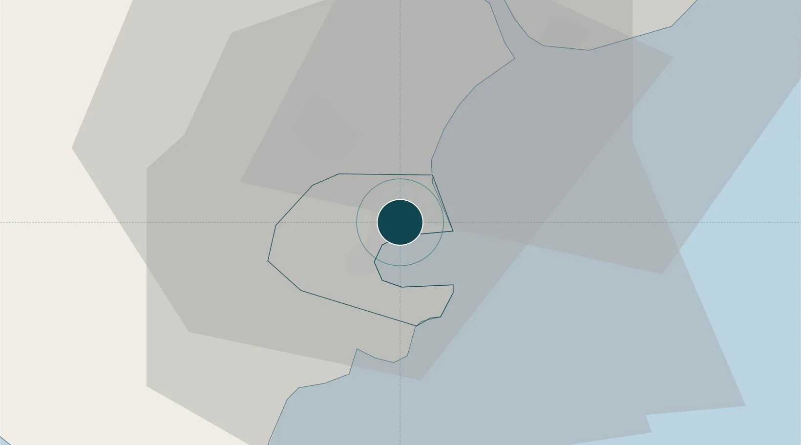
Location
Nearby Logistics Neighbours
Ports
- 1Brixham Harbour8 km
- 2Teignmouth Harbour10 km
- 3Dartmouth Harbour14 km
- 4Plymouth45 km
- 5Bridport Harbour61 km
Cities
- 1Torbay/Paignton3 km
- 2Paignton4 km
- 3Berry Head8 km
- 4Bishopsteignton9 km
- 5Brixham10 km
Airports
- 1Exeter International Airport31 km
- 2Royal Marines Base Chivenor82 km
- 3RNAS Yeovilton87 km
- 4Hartland Point Heliport93 km
- 5Cornwall Airport Newquay104 km
Trade Zones
DatabookThe Record of Consolidated Knowledge
United Kingdom beyond logistics?